
At 7:34 a.m. on a Monday in August, the ground beneath Chocó province in western Colombia ruptured along a fault deep inside a subducting oceanic plate. The magnitude 7.4 earthquake that followed killed hundreds of people, destroyed thousands of homes, and sent shaking across a country that has long understood, at least in the abstract, that this kind of event was coming. Understanding why requires looking at both the geology beneath Colombia and the human conditions on top of it.
What Happened on August 10
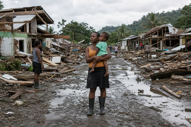
The earthquake struck at 12:34 GMT (7:34 a.m. local time) on August 10, 2026, with its epicenter in Chocó, one of Colombia’s most remote and impoverished provinces. Casualty figures diverged across reporting outlets in the hours and days that followed, reflecting the difficulty of gathering information from a region with limited infrastructure. BBC reporting placed the death toll at least 169 people killed. UNICEF cited official figures of 181 people killed, more than 2,700 injured, and 195 reported missing, with over 3,700 homes destroyed. AP News reported more than 280 people killed, with hundreds more missing as rescuers called for silence around rubble to listen for survivors. The variation in these figures is not a contradiction; it is a standard feature of disaster reporting in the immediate aftermath, when ground truth is hard to establish and numbers shift as search operations continue.
The quake struck at an intermediate depth. BBC reported 103 km (64 miles), while Reuters placed it at 96 km (60 miles). That discrepancy is not a reporting error. It reflects the genuine difficulty of pinpointing rupture depth in a geologically complex subduction zone, where automated and refined estimates often differ by small but meaningful margins in the hours following a large event. That depth — wherever precisely it falls between those figures — carries consequences for who felt the shaking and how severely.
Three Plates, One Country
Colombia sits at the junction where the Nazca Plate, the South American Plate, and the smaller Caribbean Plate converge. The U.S. Geological Survey identifies this triple-plate configuration as a primary driver of the region’s seismic hazard, placing Colombia within one of the most active tectonic zones in the Western Hemisphere.
The Nazca Plate is an oceanic plate — denser and thinner than continental crust — currently sliding eastward beneath the South American Plate at roughly 6 to 7 centimeters per year. This process, called subduction, is the engine behind most of Colombia’s largest earthquakes. As the Nazca Plate descends into the mantle, it bends, fractures, and drags the overlying crust, generating earthquakes across a wide range of depths: from near the surface down to several hundred kilometers below it. That range is why Colombia’s seismic zone produces so many earthquakes with such varied behavior.
The Caribbean Plate adds a third layer of complexity along Colombia’s northern coast, where its boundary with the South American Plate produces strike-slip faults — faults where plates grind horizontally past each other rather than diving beneath one another. Each plate boundary generates its own characteristic type of earthquake, meaning Colombia must contend not with a single seismic threat but with several overlapping ones simultaneously.
Why Depth Changes Everything
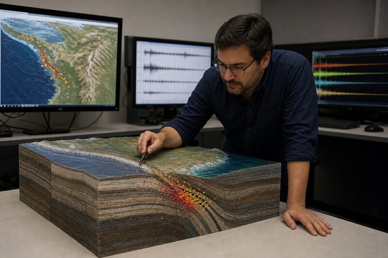
Seismologists classify earthquakes by focal depth: shallow events occur at 0 to 70 kilometers, intermediate events at 70 to 300 kilometers, and deep events at 300 to 700 kilometers. The August 10 earthquake, at roughly 96 to 103 kilometers, falls firmly in the intermediate category — a classification that is geologically meaningful, not merely academic.
Intermediate-depth earthquakes occur within the subducting slab itself, in rock that remains cold and brittle enough to fracture despite the enormous pressure of burial. The result is a rupture generated not at the interface between plates but within the descending slab — a distinction that shapes how seismic waves travel outward from the source.
Intermediate-depth earthquakes can behave differently from both shallow and very deep events in ways that affect their reach. They release energy closer to the surface than deep quakes, yet their seismic waves travel through denser, more stable rock than those from very shallow events, allowing shaking to radiate across large distances with less energy lost to scattering. This is part of why the August 10 shaking was felt as far away as Bogotá, roughly 500 kilometers from the epicenter. Even a difference of a few kilometers in focal depth can meaningfully shift which communities experience the strongest ground motion — which is why Colombia’s Servicio Geológico Colombiano monitors this depth variability continuously.
The Fault Lines Running Through Colombia
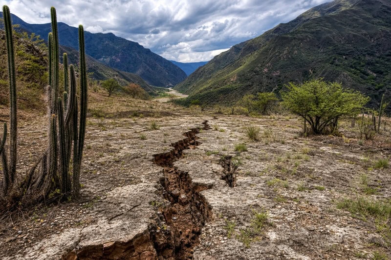
Beyond the plate boundaries, Colombia is crosscut by a dense network of onshore faults. The most significant is the Romeral Fault System — a chain of northwest-trending faults running the length of the Andes — which the Servicio Geológico Colombiano has linked to some of the country’s most historically destructive earthquakes. The 1999 Armenia earthquake, a magnitude 6.1 event that killed more than 1,000 people, is attributed to a segment of the Romeral system. That event is a sobering reminder that moderate magnitudes on shallow crustal faults can be as lethal as, or more lethal than, larger intermediate-depth events, depending on depth, soil conditions, and building quality.
Chocó province sits at the western flank of the Romeral system, where the subducting Nazca Plate meets the accretionary wedge — the chaotic mass of sediment and oceanic material scraped off the descending plate and plastered against the continent’s edge. This structurally complex zone produces ruptures that are difficult to model even with modern computational tools. The USGS notes that the interaction between subduction-zone seismicity and the overriding crustal faults means a single major event can trigger secondary ruptures on nearby faults, compounding both damage and the challenge of emergency response.
Why Colombia’s Earthquakes Are So Hard to Predict
No scientific body — including the USGS or the Servicio Geológico Colombiano — can predict the precise time, location, or magnitude of a specific future earthquake. What seismologists can do is map probabilistic hazard: estimating how likely strong shaking is over decades-long windows, based on fault geometry, historical seismicity, and geodetic measurements of plate movement. Colombia’s triple-plate junction makes even this probabilistic work unusually difficult. The interaction of three plates creates stress fields that shift as each plate moves, meaning the locked fault segments most likely to rupture can change over time.
Research into slow-slip events adds another layer of uncertainty. These are episodes where plates creep silently past each other without generating felt earthquakes, potentially loading stress onto adjacent locked fault segments. Some scientists studying the Colombian subduction zone have proposed that slow-slip episodes may periodically increase the likelihood of a large rupture, but this link is not yet usable for prediction. It remains an active area of research, not an established forecasting tool.
The August 10 earthquake struck a zone that Colombia’s national seismic hazard map identifies as high-risk. Its precise timing and rupture geometry were not anticipated — an outcome entirely consistent with the current limits of earthquake science. The hazard was known. The moment was not. That distinction is fundamental to understanding what geoscience can and cannot offer to the people who live along these fault lines.
Poverty, Infrastructure, and the Human Cost
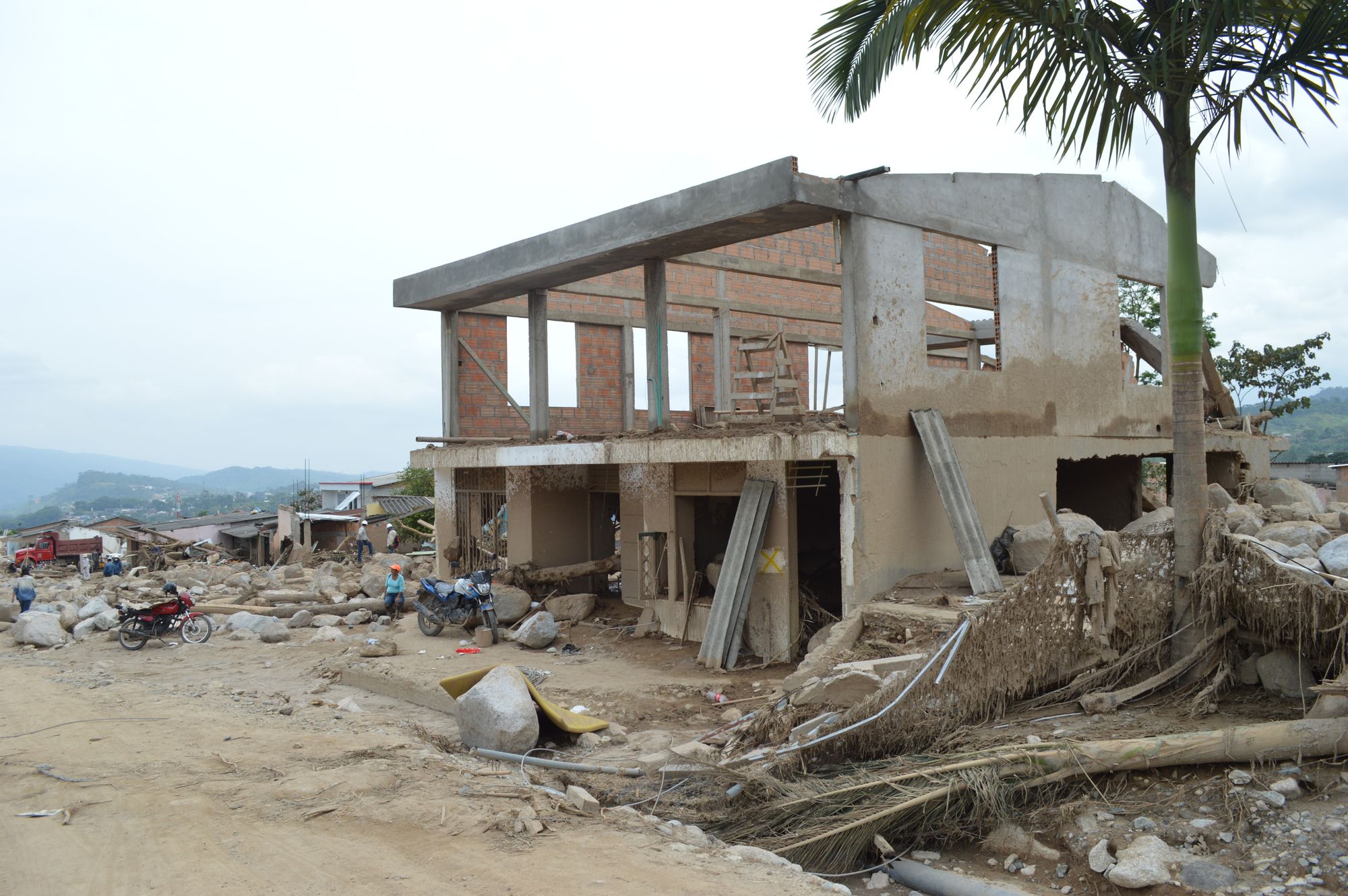
The death toll from the August 10 earthquake reflects not just the energy released by geological forces but the vulnerability of the people and structures in their path. Chocó is among Colombia’s poorest and most remote provinces, with infrastructure that the UN Development Programme has long identified as inadequate relative to its seismic exposure. In such settings, building quality — not earthquake magnitude alone — is often the decisive factor in whether a tremor becomes a catastrophe.
UNICEF’s figures of over 3,700 homes destroyed and more than 2,700 people injured reflect the vulnerability of a building stock where reinforced construction is the exception rather than the rule. Thousands of additional buildings were severely damaged, creating a secondary hazard that seismologists take seriously: structurally compromised structures that can collapse during aftershocks, which are statistically expected to follow any magnitude 7.0 or greater event for weeks or months afterward.
Seismologists use a metric called shaking intensity — measured on the Modified Mercalli Intensity scale, which runs from imperceptible to catastrophic — to separate a quake’s raw energy from its human impact. In Chocó, the combination of intermediate focal depth, local soil conditions, and fragile housing stock likely pushed intensity into the most damaging categories across a wide area, even at significant distances from the epicenter. Ground motion that might cause cracks in a well-engineered concrete building can flatten an unreinforced structure.
What Comes Next, and What Science Can Offer
The Servicio Geológico Colombiano operates a national seismic network that provides rapid magnitude and location estimates within minutes of any significant event, enabling faster emergency coordination. But detection is not prediction, and that distinction matters enormously for public understanding of what monitoring systems can actually deliver.
Earthquake early-warning systems — which detect the fast-moving primary waves generated by a rupture and send alerts seconds before the more destructive secondary waves arrive — are technically feasible for Colombia. Full national deployment, however, remains an ongoing policy and infrastructure challenge, not a near-term certainty.
The scientific consensus, as summarized by the USGS, is consistent on one point: seismic risk reduction depends far more on resilient construction standards and land-use planning than on any foreseeable breakthrough in earthquake prediction. For a country sitting at the convergence of three tectonic plates — the Nazca, South American, and Caribbean — earthquakes are not anomalies. They are a recurring feature of the landscape, as predictable in their inevitability as they are unknowable in their timing. The clearest lesson geoscience offers Colombia is that its buildings, not its fault lines, are the variable most within human control. And in Chocó, where thousands of families have now lost their homes, that lesson arrives, as it so often does, too late.