
Hundreds of earthen mounds rise from the floor of the southwestern Amazon — invisible from the ground, unmistakable from the sky, and hidden in plain sight for centuries. Scientists now believe those mounds are the remnants of a sophisticated pre-Columbian civilization that, at its peak, may have supported between 1.25 and 3 million people across parts of modern-day Brazil, Bolivia, and Peru. That population range is comparable in scale to ancient Rome at the height of its empire — and it covers only the best-documented core region of what may have been a far larger cultural world.
The Assumption That Shaped Everything — And Why It Collapsed

For most of the 20th century, the dominant academic view held that the Amazon was a kind of ecological trap for complex societies. The logic seemed airtight: Amazonian soils are notoriously nutrient-poor, heavily leached by rainfall, and poorly suited to the kind of intensive agriculture that historically sustained large, dense populations elsewhere in the world. Under this model — sometimes called the “counterfeit paradise” hypothesis — pre-Columbian Amazonian peoples were assumed to have lived in small, mobile groups, moving through the forest in patterns of subsistence that the landscape could barely support. Dense urban settlement, the thinking went, was simply impossible here.
That consensus has been systematically dismantled over the past three decades. Archaeologists working across the basin have documented raised causeways spanning kilometers, geometric earthworks known as geoglyphs — precisely engineered ditches and berms forming circles, squares, and complex polygons — and networks of residential mounds that bear none of the hallmarks of nomadic encampment. Perhaps most consequentially, researchers have identified widespread deposits of terra preta, a Portuguese term meaning “dark earth,” referring to an anthropogenic soil — a soil made by humans — that is dramatically more fertile than the surrounding red laterite. Terra preta does not occur naturally. It is the product of centuries of deliberate organic amendment, incorporating charcoal, bone, and food waste into the ground by farming communities who understood their environment well enough to transform it.
Research published in journals including Nature and Science has documented pre-Columbian raised-field agriculture, fish weir systems, and managed forest gardens across the basin, collectively pointing to a landscape that was actively engineered rather than passively inhabited. The existence of complex, large-scale Amazonian societies before European contact is now broadly accepted within the archaeological community. What remains genuinely contested — and where responsible science demands caution — are the precise population figures and the full geographic extent of these cultures.
It is also worth distinguishing between what the evidence directly shows and what it implies. Mounds, causeways, and terra preta deposits confirm large-scale human modification of the landscape over long periods. They do not, on their own, resolve questions about political organization, cultural unity, or the degree to which dispersed settlements were connected by shared governance rather than shared building traditions. Those distinctions matter, and the field is careful to maintain them.
LiDAR: The Technology That Sees Through the Canopy
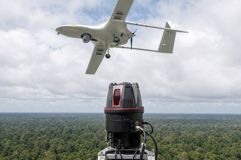
The instrument that has done the most to accelerate this paradigm shift is lidar, which stands for light detection and ranging. In practical terms, lidar is an airborne laser-scanning system mounted on a plane or drone that fires millions of infrared pulses per second toward the ground. Each returning pulse carries information about distance and elevation. When those returns are processed, the software separates signals that bounced off tree canopy — effectively filtering out the forest — from signals that reached bare earth. The result is a three-dimensional map of the ground surface beneath the jungle, rendered in detail fine enough to reveal walls, plazas, mound edges, and road alignments that are completely invisible from both the ground and conventional aerial photography.
For Amazonian archaeology, this capability is transformative. The Amazon basin covers approximately 5.5 million square kilometers, much of it under continuous forest canopy. Systematic ground survey at that scale would take generations and would still miss features buried under vegetation. Lidar compresses that timeline dramatically: a single airborne campaign can map hundreds of square kilometers in days and flag candidate archaeological sites for targeted ground verification. Crucially, archaeologists must then excavate those sites to confirm whether identified features are human-made structures or natural landforms — a step that lidar alone cannot perform and that responsible researchers never skip.
Every major lidar campaign conducted in the Amazon to date has expanded rather than contracted the estimated scale of pre-Columbian settlement. Research on ancient Amazon earthworks and population estimates has consistently found that areas previously considered archaeologically marginal contain evidence of substantial human modification. Leading archaeologists have publicly stated that current estimates of settlement density are almost certainly conservative, because lidar has so far covered only a fraction of the basin’s total area. Each new campaign has produced more than the one before it — a pattern that shapes how researchers frame their projections.
The Southwestern Amazon: Where the Evidence Is Strongest
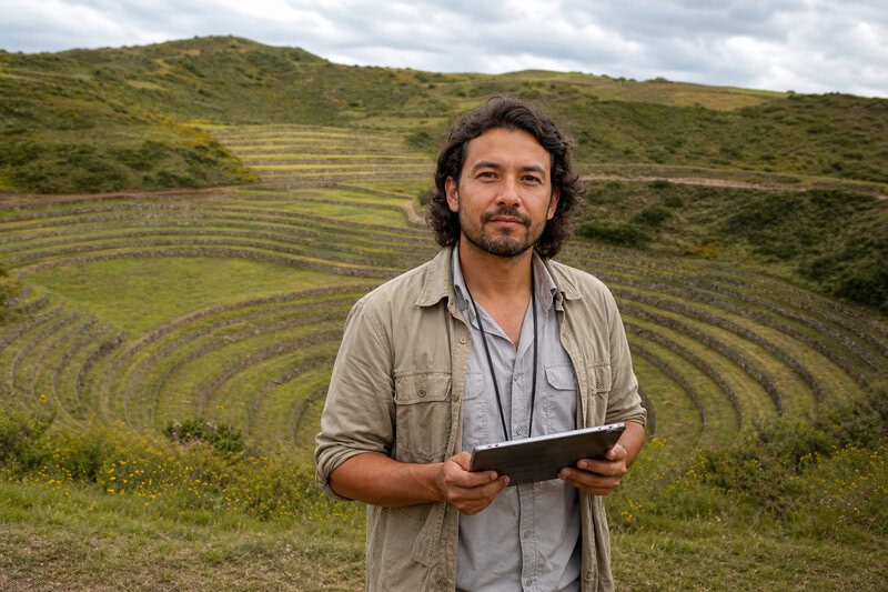
The southwestern corner of the Amazon Basin — encompassing areas of present-day Brazil, Bolivia, and Peru — represents the region where the physical evidence for large-scale pre-Columbian settlement is currently most robust. It is here that the earthen mounds have been most thoroughly studied, and where researchers have been able to connect surface features to excavated stratigraphy and radiocarbon dates that anchor the timeline of occupation.
What those mounds reveal, when mapped systematically, is not a scattering of isolated villages but evidence of planned communities. Settlements appear to have been organized around central plazas, with residential mounds arranged according to consistent spatial logic, connected by raised causeways that would have remained passable during seasonal flooding, and supported by water-management features including canals and reservoirs. These are architectural signatures associated with urban organization — not the random clustering of unrelated homesteads.
Over an approximately 1,500-year time span, researchers estimated that up to 3 million people may have lived in southwestern Amazonia alone, according to peer-reviewed findings. The lower-bound estimate of 1.25 million and the upper bound of 3 million represent the current scientific range for this documented core region. That range reflects genuine uncertainty in the underlying data, not imprecision in the analysis. Responsible population archaeology reports ranges rather than false precision, and the gap between those figures is itself informative: it tells you how much the answer depends on assumptions about settlement density and duration that the evidence has not yet resolved.
Some broader extrapolations — drawing on wider survey data and modeling the portions of the basin not yet covered by lidar — have suggested that the greater Amazon may have supported populations approaching 10 million or more before European contact. Discussions among researchers and science communicators have characterized these figures as plausible upper bounds consistent with the trajectory of new discoveries, while emphasizing that they remain speculative until survey coverage is substantially expanded. Scientists treat them as hypotheses to be tested, not conclusions to be announced.
Whether the settlements of the southwestern Amazon constituted a single unified civilization or a network of related but politically independent cultures is itself an open and actively debated scholarly question. The physical similarities in construction style, spatial organization, and material culture suggest meaningful connections across the region, but the evidence for centralized political authority — the kind that would justify the label “empire” or “state” — has not yet been established. Using the word “civilization” in this context signals cultural complexity and scale, not a specific political form.
Counting the Uncountable: How Archaeologists Estimate Ancient Populations
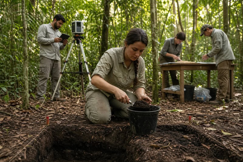
No census survives from pre-Columbian Amazonia. Population estimates are constructed from proxies: the number, size, and density of identified settlement sites; the extent of land showing evidence of cultivation or deliberate modification; the volume of terra preta deposits, which accumulate in proportion to the length and intensity of occupation; and careful analogy with ethnographically documented Amazonian societies of known size and organization. Each proxy introduces its own sources of error, which is why the resulting estimates carry wide uncertainty bands — and why researchers present them as ranges rather than single figures.
Population estimates are also only as reliable as the survey coverage on which they rest. Because lidar has mapped a small fraction of the Amazon basin’s total area, the known archaeological record is necessarily incomplete. Researchers are explicit about this limitation: as coverage expands, current population figures are expected to be revised. Based on the consistent pattern of each new survey finding more than anticipated, that revision is likely to be upward. This is not a reason to treat current figures as reliable minimums, but it is a reason to expect the story to grow more rather than less remarkable as research continues.
What Happened to Them — And Why It Matters
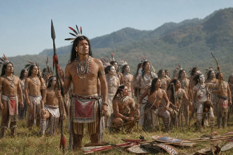
The most important reason that a civilization of this scale remained unknown to Western science for so long is also the most tragic. European contact after 1492 introduced diseases — smallpox, measles, influenza — against which Indigenous Amazonian populations had no prior immunity. Demographic historians estimate that mortality rates across the Americas reached 50 to 90 percent within a century of first contact, a catastrophe with few parallels in recorded human history in terms of both scale and speed. Settlements that had been inhabited and maintained for more than a millennium were abandoned. The forest reclaimed them within generations.
By the time European explorers reached the Amazonian interior in systematic numbers, what they encountered was not the ancient cultural landscape but a secondary forest — regrowth that had begun decades or centuries earlier, over the foundations and fields of the civilization that had preceded it. The unusual ecological character of the Amazon rainforest — the prevalence of certain cultivated tree species along river corridors, the distribution of terra preta deposits, the geometric patterns detectable only from altitude — are, in significant part, the fingerprints of that vanished civilization on the landscape that followed it.
This finding carries serious implications for conservation science. The “pristine wilderness” model of the Amazon, which informed environmental policy for decades, rested partly on the assumption that the forest represented a natural baseline undisturbed by human activity. If millions of people actively managed and shaped the Amazon for over a millennium, then the ecological character of the modern forest reflects human choices as much as natural processes — a more complex and in some ways more instructive baseline than the pristine-wilderness model allowed for. It also means that some of what conservationists have sought to protect as untouched nature is itself a human artifact, though one of extraordinary value.
Researchers also increasingly recognize that recovering the history of pre-Columbian Amazonia is not purely an academic exercise. Descendants of these civilizations continue to live in the region. Indigenous communities whose oral traditions, ecological knowledge, and land relationships connect directly to the pre-Columbian past are increasingly partners in archaeological research rather than its subjects — a methodological and ethical shift that has already yielded significant discoveries and that is expected to shape the field’s direction going forward.
What Comes Next
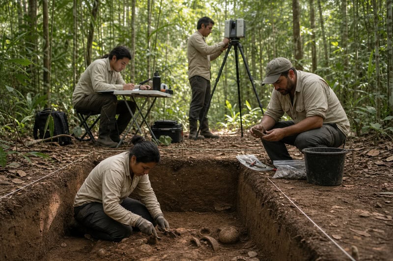
Ongoing and planned lidar campaigns, combined with ancient DNA analysis, systematic soil coring, and continued excavation at sites identified from the air, are expected to substantially clarify the geographic reach, internal diversity, and political organization of pre-Columbian Amazonian civilizations within the next decade. Key questions that remain unresolved include how politically integrated these societies were across large distances, how they managed trade and communication across the basin, and the precise mechanisms and timelines of their demographic collapse after contact.
The arc of discovery over the past thirty years suggests that current estimates — of population, geographic extent, and cultural complexity — are floors rather than ceilings. Every major survey has produced surprises. Every new dataset has pushed the understood scale of pre-Columbian Amazonian civilization further than the previous one. There is no reason, based on the evidence so far, to expect that pattern to reverse.
The ancient Amazon was not an empty wilderness waiting to be discovered. It was a populated, engineered, and deeply human landscape — one whose true dimensions are only now coming into focus, and whose recovery stands as one of the most consequential archaeological projects of the 21st century.