17. Gravity Maps: Visualizing Earth’s Anomalies
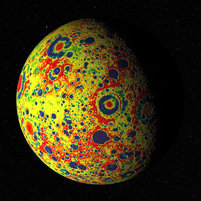
Gravity maps combine satellite and ground-based measurements to paint a vivid picture of regions with stronger or weaker gravitational pull. These maps allow scientists and engineers to pinpoint geological structures, assess earthquake risks, and plan construction projects with greater precision.
Colored gradients highlight subtle changes that would otherwise go unnoticed. The USGS gravity map resources offer interactive tools and in-depth data for anyone interested in exploring the hidden gravitational contours of our planet.