
At some point on the morning of Tuesday, July 21, 2026, a 70-meter-tall Falcon 9 Block 5 rocket is scheduled to lift off from the California coast — and then do something that surprises most first-time launch watchers: it will turn south, arcing out over the Pacific Ocean rather than racing eastward the way rockets from Florida do. That direction is not a quirk or a compromise. It is the whole point.
A Rocket Heads South — and That’s the Whole Point
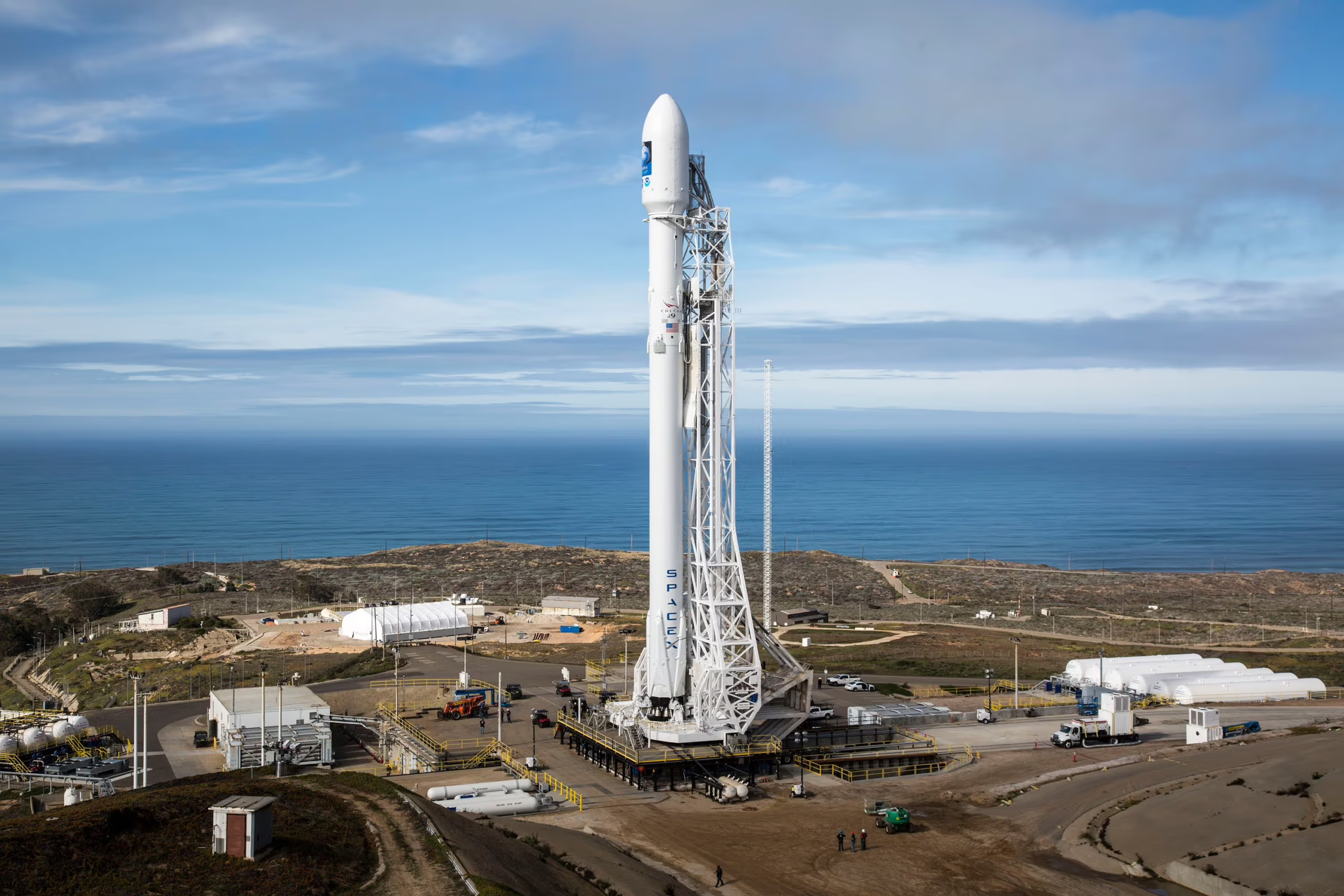
The SpaceX Falcon 9 carrying Starlink Group 17-39 is scheduled to launch from Vandenberg Space Force Base in Santa Barbara County, California, during a window that opens at 7:00 AM PDT and closes at 10:47 AM PDT on July 21, 2026. The mission’s southward flight path over open ocean is a deliberate consequence of orbital mechanics, federal safety regulations, and the specific type of satellite orbit SpaceX needs to reach for this particular Starlink shell.
The launch comes after a productive stretch of activity at the base. SpaceX successfully flew a Starlink mission from Vandenberg on June 28, 2026. A follow-up attempt on July 20 was aborted at the end of the countdown — a reminder that even missions described as routine demand extraordinary precision at every stage. Understanding why rockets from this base fly south rather than east unlocks a surprisingly elegant piece of physics that governs how nearly every satellite above your head got there.
Two Launch Sites, Two Very Different Jobs
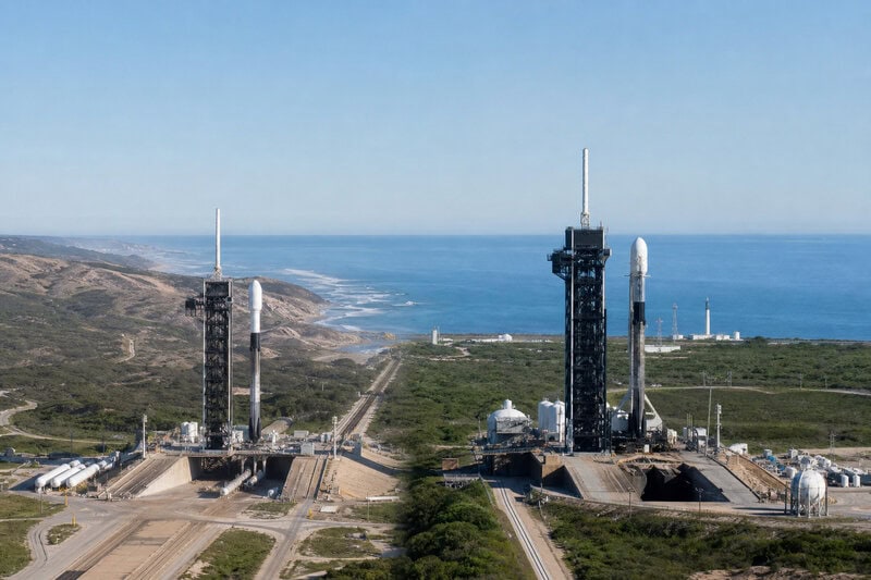
The United States operates two primary orbital launch corridors. The Eastern Range, anchored by Cape Canaveral in Florida, sends rockets eastward over the Atlantic Ocean. The Western Range, anchored by Vandenberg Space Force Base, sends rockets southward over the Pacific. Each corridor exists because of a specific combination of geography, physics, and safety requirements — and each is suited to a fundamentally different kind of mission.
Rockets launched eastward from Florida receive a meaningful assist from Earth’s rotation. At Cape Canaveral’s latitude, the planet’s surface is already moving eastward at roughly 900 miles per hour. A rocket heading in the same direction treats that velocity as a free head start, reducing the propellant needed to reach orbital speed. This advantage makes Florida the natural choice for missions targeting low-inclination orbits — the equatorial and near-equatorial paths used by GPS constellations, communications satellites, and geostationary weather platforms that hover over a fixed point on Earth.
Launches heading south from Vandenberg surrender that rotational boost. What they gain instead is something Florida cannot safely offer: a trajectory that clears every major landmass entirely. A rocket flying south from the California coast climbs over open Pacific water for thousands of miles, satisfying the requirement imposed by the U.S. Federal Aviation Administration — the agency that licenses all commercial launches — that spent rocket stages and any debris fall well clear of populated areas. No populated continent sits in a southbound rocket’s path between Vandenberg and Antarctica.
What a Polar Orbit Actually Is — and Why It Matters

A polar orbit is defined by its inclination — the angle between a satellite’s orbital plane and Earth’s equator — of roughly 90 degrees. A satellite in a true polar orbit passes over or near both the North and South Poles on every revolution. Because Earth rotates beneath the satellite as it travels, a polar-orbiting spacecraft eventually passes above every point on the planet’s surface. No spot on Earth is permanently hidden from it.
This complete global coverage is what makes polar orbits indispensable for Earth-observation missions, weather monitoring, military reconnaissance, and broadband internet constellations that need to serve high-latitude users. SpaceX’s Starlink network cannot adequately reach customers in Alaska, northern Canada, Iceland, or Scandinavia using only the lower-inclination orbital shells launched from Florida. The near-polar shells, launched from Vandenberg, close those gaps.
A closely related orbital regime, the sun-synchronous orbit (SSO), takes the geometry one step further. An SSO is a near-polar orbit engineered so that a satellite crosses any given latitude at the same local solar time on every pass. Because lighting conditions remain consistent from one overpass to the next, imagery collected years apart can be compared directly — a property that makes SSOs the standard choice for agencies conducting long-term remote-sensing programs. This consistency is why weather satellites and land-imaging spacecraft overwhelmingly favor sun-synchronous paths, and why Vandenberg remains irreplaceable for those missions.
Why This Particular Patch of California Coastline

Vandenberg Space Force Base occupies a coastal bluff in Santa Barbara County, roughly 130 miles northwest of Los Angeles. When the U.S. military established it as a missile test range in 1957, the base’s western and southern exposure to the Pacific Ocean made it the obvious choice for polar-trajectory launches. A rocket fired due south enters an ocean corridor thousands of miles long before approaching the Antarctic coastline — more than enough unobstructed water to satisfy debris-field safety margins.
The base’s latitude of approximately 34.7 degrees north also provides a propellant advantage for reaching sun-synchronous inclinations near 97 degrees. Achieving that inclination from a lower-latitude site would require burning more fuel to push the orbit up to the required angle — a penalty Vandenberg’s position helps avoid.
Vandenberg hosted its first orbital launch in February 1959 with the Discoverer 1 reconnaissance satellite and has supported hundreds of orbital missions since, building a long institutional history that has made it the nation’s primary high-inclination launch facility. That designation has grown only more significant as commercial operators like SpaceX have sharply accelerated their launch cadence from the base in recent years.
How the Falcon 9 Executes the Mission
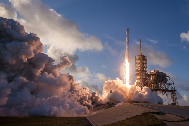
The Falcon 9 Block 5 assigned to the Starlink Group 17-39 mission stands 70 meters tall. On a polar mission from Vandenberg, the rocket’s two stages work in sequence: the first-stage booster ignites its nine Merlin engines to push the stack through the atmosphere and accelerate toward orbital velocity, then separates and flies itself back to a controlled landing.
On Vandenberg polar missions, booster recovery typically occurs on a drone ship stationed in the Pacific rather than at or near the launch site. The geometry of a southbound trajectory means the booster is flying away from land when it separates, making an ocean landing the practical option. The Merlin engines are throttleable, which allows SpaceX engineers to execute a mid-flight heading adjustment if the rocket’s lower-altitude trajectory requires a slight course correction to avoid over-flying populated coastal areas north of the pad.
Each Block 5 booster is designed and certified by SpaceX for multiple reflights. Rapid reuse is central to the economics of building and maintaining a constellation as large as Starlink, where the frequency of launches demands that hardware costs be distributed across many missions rather than discarded after a single flight.
What the Starlink Constellation Needs From Vandenberg
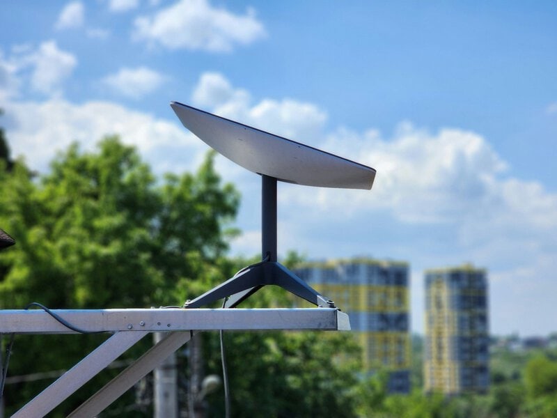
SpaceX’s Starlink broadband network has grown into one of the largest satellite constellations ever assembled. The network is not a single uniform shell but a layered architecture of multiple orbital planes at different inclinations and altitudes, each serving a different geographic purpose.
The lower-inclination shells launched from Florida deliver high-capacity coverage to mid-latitude population centers across the continental United States, Europe, and Asia. The near-polar shells launched from Vandenberg extend service to users at higher latitudes who would otherwise fall into persistent coverage gaps. The Starlink Group 17-39 designation indicates this mission adds incremental capacity to an existing near-polar shell — a steady accumulation consistent with SpaceX’s FCC-authorized constellation plans spanning multiple orbital planes.
The pace of launches from Vandenberg has accelerated noticeably. The successful June 28 mission, the aborted July 20 attempt, and the July 21 attempt represent a compression of launch activity that the FAA’s streamlined licensing reforms — introduced in 2023 to reduce administrative lag for high-cadence operators — were explicitly designed to accommodate.
What to Watch, and What Remains Open
The July 20 abort, which occurred during the terminal phase of the countdown, illustrates how automated safing systems are designed to catch marginal conditions that manual review alone might not catch in time. SpaceX had not publicly disclosed the specific trigger as of this writing; the company’s official channels are the appropriate source for a technical explanation as it becomes available. The Vandenberg launch schedule will reflect any updates to the July 21 window.
The 7:00 to 10:47 AM PDT window is not arbitrary padding. It reflects a set of instantaneous launch opportunities — each tied to the precise moment Earth’s rotation brings the target orbital plane overhead — spread across nearly four hours. Weather, upper-atmosphere winds, and range safety constraints can compress or close that window without warning.
A longer-term question surrounds the growth of large satellite constellations. Astronomers and scientific organizations have raised concerns about satellite trail interference with ground-based observatories. SpaceX has implemented optical darkening measures on its satellites, but peer-reviewed assessment of those mitigations is ongoing and no settled scientific consensus has been reached on their effectiveness.
For skywatchers across California, a southbound Falcon 9 launch in morning twilight offers a striking spectacle regardless of how that debate resolves. The rocket climbs into direct sunlight while the ground below remains in Earth’s shadow, causing the exhaust plume to glow brilliantly against a still-dark sky. The effect is pure geometry — and it is visible across a surprisingly wide arc of the state whenever conditions cooperate.