23. Satellite Remote Sensing: Eyes on the Arctic
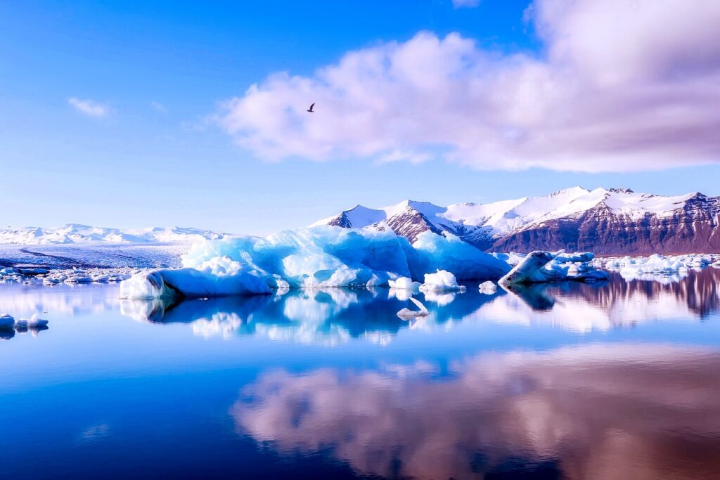
Modern satellites armed with radar, lidar, and thermal sensors provide real-time insights into ice cover, shifting ocean currents, and landscape changes across the Arctic. These advanced technologies have revolutionized how scientists monitor and understand the region’s rapid transformations. Satellite data not only enhances research but also supports safer navigation and more effective resource management. For the latest imagery and findings, explore NOAA Arctic Satellite Data.