8. Satellite Imaging for Crop Monitoring
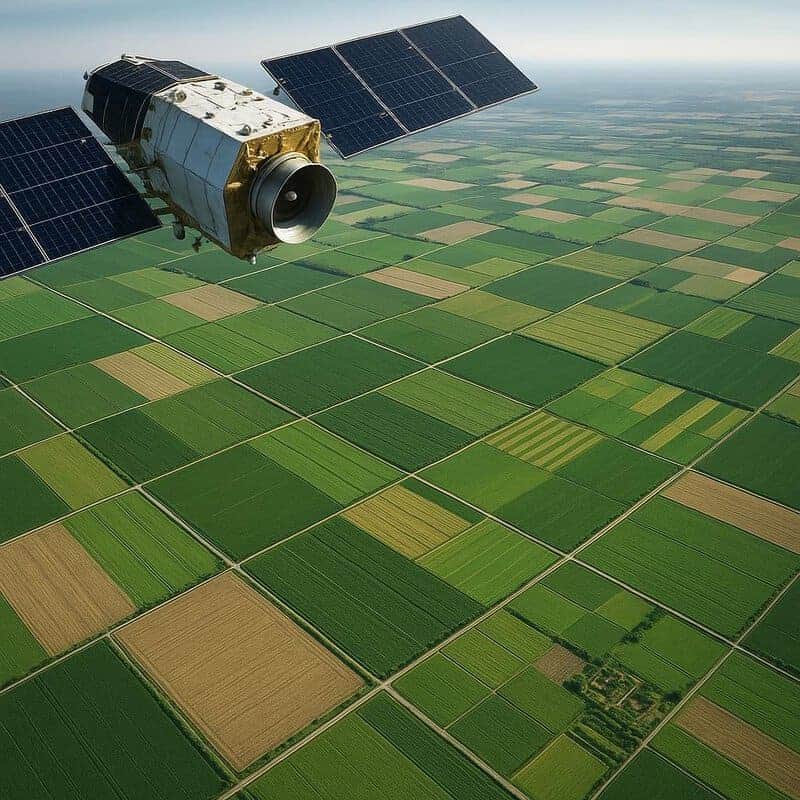
Satellite imaging technology is revolutionizing how we monitor agricultural landscapes and ensure food security. By capturing detailed images of fields from space, scientists can assess crop health, detect drought stress, and even predict potential famines. Initiatives like NASA’s Harvest project use this real-time data to guide early interventions and resource allocation, helping prevent hunger crises before they escalate. Such remote sensing tools are invaluable for both farmers and policymakers. Read more