8. Satellite Technology: Witnessing Islands Rise and Fall
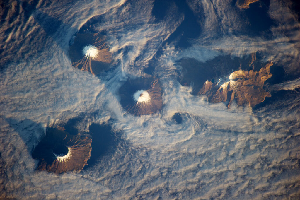
Modern science owes much to satellite technology in tracking the volatile birth and disappearance of volcanic islands. Landsat satellites, for example, provide stunning time-lapse imagery—capturing eruptions, swelling landmasses, and vivid plumes of mineral-laden water. These images, archived by NASA, reveal the dynamic interplay between fire and water from a global perspective. By documenting such rapid transformations, satellites help researchers unravel the secrets of Earth’s most dramatic geological phenomena as they unfold in real time.