3. Ocean Floor Mapping: Revealing Hidden Movements
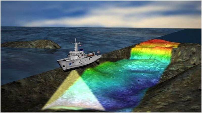
Modern sonar and satellite technologies have revolutionized our understanding of the ocean floor’s intricate movements. Using advanced bathymetric mapping, scientists can now visualize underwater mountain ranges, rift valleys, and fracture zones created by shifting plates.
Continuous monitoring by organizations like NOAA provides critical data for tracking these subtle but powerful shifts. This detailed mapping not only uncovers hidden landscapes but also helps reveal the dynamic processes shaping our ocean basins. Explore NOAA’s bathymetric resources at NOAA National Centers for Environmental Information.