5. Initial Exploration Methods
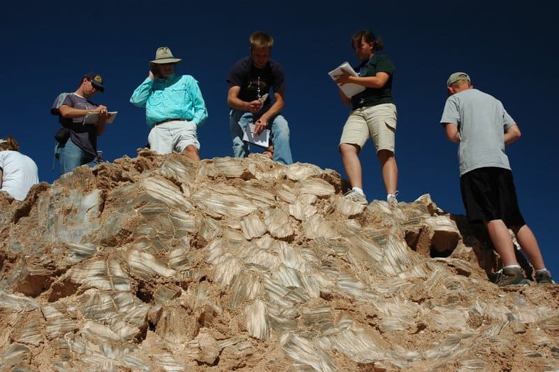
The groundbreaking discovery in Patagonia was initially made possible by advanced remote sensing technologies, including satellite imagery and aerial geophysical surveys. Geologists began by analyzing high-resolution satellite data to detect subtle geological anomalies indicative of mineralization. Following this, airborne magnetic and electromagnetic surveys pinpointed precise locations exhibiting promising underground structures. Teams on the ground then employed targeted geochemical sampling and exploratory drilling to confirm the presence of gold-rich quartz veins. Additionally, sophisticated seismic imaging techniques allowed researchers to map subsurface geological formations in unprecedented detail, revealing the immense scale and high-grade nature of the deposit beneath Patagonia’s rugged terrain.