
On July 30, 2026, Super Typhoon Dolphin peaked at maximum sustained winds of 165 mph (270 km/h), cementing its place among the most powerful tropical cyclones ever recorded in the Northwest Pacific basin — and serving as a vivid reminder that this stretch of ocean is, by every measurable standard, the most prolific factory of extreme storms on Earth.
A Storm That Rewrites the Scale
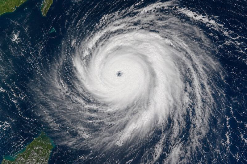
Even before Dolphin reached its Category 5 apex, its destructive potential was staggering. AccuWeather tracked sustained winds of 155 mph during an earlier phase of the storm’s intensification — enough energy to devastate infrastructure across a wide swath of open ocean and coastline. Fox Weather documented Dolphin’s rapid escalation as it barreled toward Asia, tracking the storm’s intensification in near real time, including wind gusts of 140 mph — equivalent to a Category 4 hurricane — as it churned in the Western Pacific.
What makes Dolphin’s intensity significant beyond the headlines is what it represents statistically. The Northwest Pacific produces more Category 5 storms than any other basin on Earth — a pattern so consistent that climate scientists treat it as a defining feature of the planet’s atmospheric engine, not an anomaly. The very strong El Niño year of 1997 saw 11 super typhoons in the Northwest Pacific, with a record 10 Category 5s. Dolphin is the latest entry in a long, well-documented series.
What Makes a Super Typhoon — and How Dolphin Qualifies
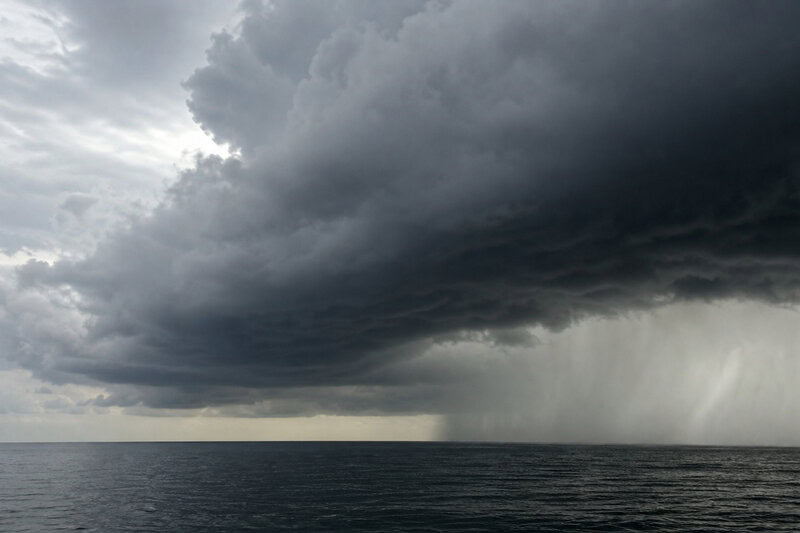
The term super typhoon is not journalistic hyperbole. It is a formal designation used by the Joint Typhoon Warning Center (JTWC) for any tropical cyclone in the Western Pacific with maximum sustained winds of at least 130 knots (150 mph / 240 km/h) — a threshold that separates extreme storms from merely destructive ones. Dolphin’s 2026 peak of 165 mph cleared that bar by a meaningful margin.
It is also worth clarifying a common point of confusion: typhoon and hurricane are regional names for the same meteorological phenomenon — a tropical cyclone. “Typhoon” applies in the Northwest Pacific; “hurricane” applies in the North Atlantic and Eastern Pacific. The underlying physics — a warm-water-fueled, rotating low-pressure system that derives its energy from the latent heat of evaporating ocean water — are identical in both cases. The difference lies not in storm type but in the ocean basin where the storm forms.
The Saffir-Simpson Hurricane Wind Scale classifies Category 5 storms as those sustaining winds above 157 mph. Dolphin’s 2026 peak sat at the upper edge of that catastrophic tier. For historical context, Typhoon Dolphin (2015) — a separate storm sharing the same name — reached super typhoon classification with 10-minute sustained winds of 185 km/h, illustrating how the basin repeatedly generates storms powerful enough to earn the designation across different years and different atmospheric setups.
The Northwest Pacific’s Structural Advantage: Ocean, Atmosphere, and Geography
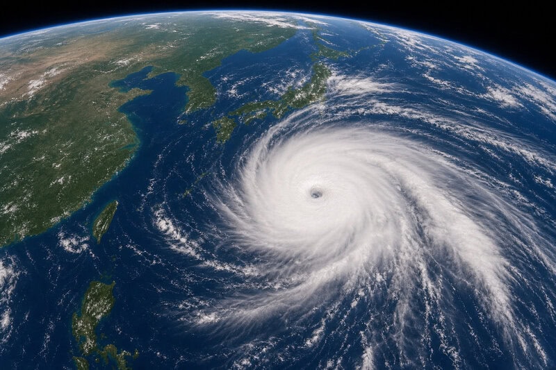
No other ocean basin combines the same set of favorable conditions for tropical cyclone intensification as the Northwest Pacific. Understanding why requires examining three interlocking factors: ocean heat, geography, and atmospheric structure.
The Northwest Pacific basin — spanning roughly from the Philippines northeast toward Japan and east toward the International Date Line — offers the longest uninterrupted expanse of warm tropical ocean on Earth. This gives developing storms an extraordinarily long runway to intensify over open water before encountering land. Sea surface temperatures in the Philippine Sea and adjacent waters routinely exceed 29-30°C (84-86°F) during peak typhoon season, roughly July through November, supplying the latent heat energy that acts as the primary fuel for intensification.
The basin also sits west of the Pacific warm pool — the largest reservoir of warm ocean water on the planet. This positioning means storms can draw on deeper layers of warm water and are less likely to upwell cold water from below, a process that typically weakens cyclones by cutting off their heat supply. Finally, low vertical wind shear — the change in wind speed and direction with altitude — across large portions of the Northwest Pacific allows storm structures to remain vertically organized and coherent. NOAA identifies low wind shear as one of the two primary prerequisites for rapid intensification, alongside warm sea surface temperatures.
The Mechanics of Rapid Intensification: How a Storm Becomes a Monster
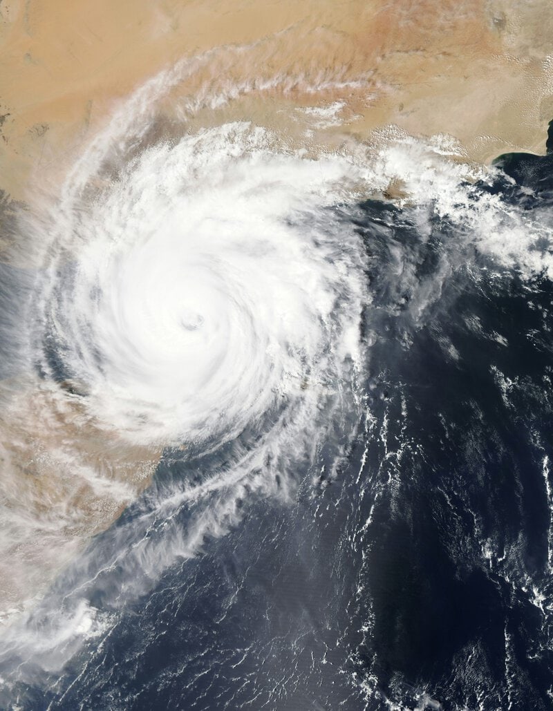
Rapid intensification — defined by NOAA as a wind speed increase of at least 35 mph within 24 hours — is substantially more common in the Northwest Pacific than in the Atlantic. The reason comes down to thermodynamics. Warm ocean water evaporates into the storm’s core, rises, condenses, and releases latent heat that drives the circulation faster in a self-reinforcing feedback loop. The deeper the warm water column, the longer this process sustains itself without the storm mixing up cooler water from below and weakening its own fuel source.
A related process, called warm core development, occurs when the storm’s central column of air warms relative to its surroundings, lowering surface pressure and accelerating the inflow of moist, warm air at the surface. This mechanism is amplified in the Northwest Pacific by the combination of high sea surface temperatures and a favorable upper-level outflow pattern that efficiently vents the storm’s heat aloft.
Yale Climate Connections described Dolphin’s Category 5 achievement as historic, situating it within broader patterns of intensification that researchers have been monitoring with increasing urgency. Emerging research — flagged as contested within the scientific community — suggests that anthropogenic ocean warming may be expanding the zone of favorable intensification conditions poleward, potentially allowing future super typhoons to reach peak intensity closer to populated coastlines. Attribution studies are ongoing, and no scientific consensus has yet formed on the magnitude of this effect.
El Niño’s Role: When the Pacific Supercharges Its Own Storms
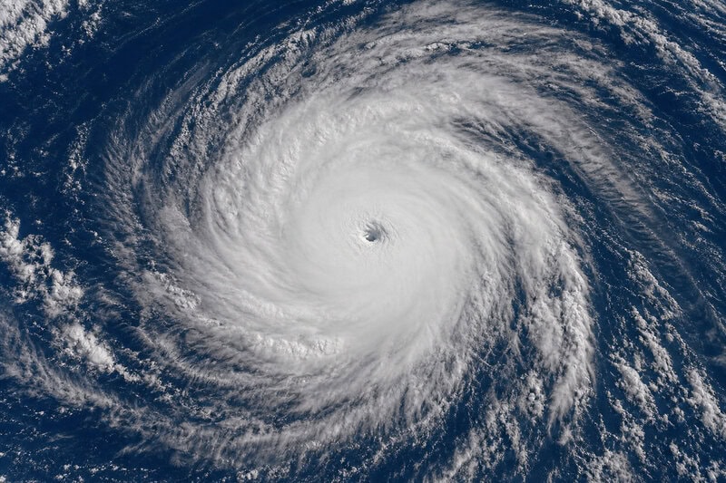
El Niño — the periodic warming of central and eastern Pacific sea surface temperatures, monitored by NOAA’s Climate Prediction Center — shifts atmospheric circulation in ways that directly favor Northwest Pacific super typhoon formation. It does this by pushing the zone of maximum convective activity eastward and simultaneously reducing wind shear over the western basin, creating conditions in which storms can intensify with less atmospheric resistance.
During El Niño years, typhoons tend to form farther east over deeper open water, giving them more over-ocean travel time to intensify before approaching coastlines — a dynamic studied extensively by the Japan Meteorological Agency and documented in peer-reviewed literature on Western Pacific climatology. The 1997 El Niño season remains the historical benchmark for basin-wide extreme activity.
La Niña conditions, El Niño’s opposite phase, generally suppress Northwest Pacific super typhoon frequency but can shift storm tracks in ways that increase landfall risk for the Philippines and Vietnam. Neither phase is straightforwardly safer for vulnerable populations in the region, a nuance often lost in media coverage of seasonal outlooks.
Typhoon vs. Hurricane: Same Beast, Different Arena — Why the Pacific Dominates on Intensity
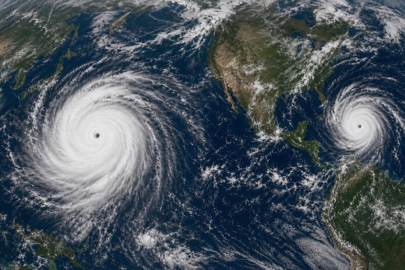
Atlantic hurricanes and Northwest Pacific typhoons are physically identical phenomena, but they do not reach comparable intensities with the same regularity. The Atlantic basin is smaller, its warm-water layer is shallower, and it is subject to more frequent wind shear intrusions driven by mid-latitude weather systems from the North American continent — all of which collectively limit how strong Atlantic storms can grow before they encounter weakening conditions.
JTWC data show that storms regularly achieve 150-mph-plus sustained winds in the Northwest Pacific at a frequency the Atlantic and Eastern Pacific cannot match. The most extreme illustration of this disparity remains Typhoon Tip in 1979, which recorded the lowest central pressure ever measured in any tropical cyclone globally — 870 hPa — as confirmed by reconnaissance aircraft and the Japan Meteorological Agency. No Atlantic hurricane has approached that figure.
This intensity disparity carries direct consequences for policy and engineering. It shapes infrastructure standards, evacuation planning, and disaster preparedness frameworks across Japan, the Philippines, Taiwan, and coastal China — jurisdictions that must routinely engineer for wind speeds and storm surges that most Atlantic-facing nations have never encountered in their planning scenarios.
What Dolphin Tells Us About the Future of Northwest Pacific Storms
Super Typhoon Dolphin’s 2026 peak arrives during a period when the Intergovernmental Panel on Climate Change Sixth Assessment Report projects an increase in the proportion of tropical cyclones reaching Category 4 and 5 intensity globally, even if overall storm frequency remains stable or declines slightly. The IPCC describes increased peak storm intensity as a likely outcome of continued ocean warming, while noting that regional projections for the Northwest Pacific carry higher uncertainty than global averages.
Scientists at the Japan Meteorological Agency and other institutions have published research suggesting that the 26°C sea surface temperature threshold historically associated with tropical cyclone formation may be becoming a less reliable lower bound as atmospheric moisture increases — potentially allowing storms to sustain intensity in conditions previously considered marginal. This remains an active research area rather than settled consensus.
NASA’s Earth observing systems captured Dolphin’s structure in satellite imagery, providing the kind of detailed, basin-wide view that allows researchers to study storm organization and intensity evolution in ways that ground-based observations alone cannot support. That data feeds directly into the modeling frameworks shaping the next generation of typhoon forecasts.
What is not contested is this: the Northwest Pacific has functioned as Earth’s most prolific generator of maximum-intensity tropical cyclones throughout the modern observation record. Super Typhoon Dolphin is the latest data point in a pattern that atmospheric scientists, disaster managers, and coastal engineers across Asia have been tracking — and bracing for — for decades. The storm did not rewrite the laws of atmospheric physics. It confirmed them.