
Sixty years after researchers wrote it off as dead, a coral garden off the coast of Benin, West Africa, reappeared on a drone’s live video feed — intact, structured, and very much alive at more than 50 metres below the surface. The discovery ranks among the rarest events in marine science: a full-scale Lazarus moment for an ecosystem that had simply vanished from scientific memory.
A Coral Garden the Research World Had Forgotten
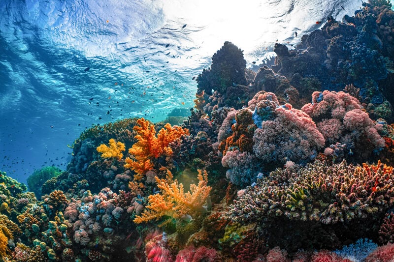
The reef was first identified in the 1960s, documented, and then — for reasons that say as much about the limits of mid-twentieth-century ocean science as about the reef itself — effectively abandoned by the research community. No formal extinction declaration was ever issued. The site was never assessed under the International Union for Conservation of Nature (IUCN) Red List process, the internationally recognised standard for classifying species and ecosystems by threat level. It was, in the precise and sobering language of conservation biology, functionally forgotten rather than formally lost.
That distinction matters. A species or ecosystem declared extinct under IUCN criteria has passed through a rigorous, evidence-based review. A site that is simply written off — underfunded, under-surveyed, and quietly dropped from research agendas — occupies a different and arguably more common category of scientific loss. The Benin coral garden belonged to the second group, which is precisely why its rediscovery was possible and why it went undetected for so long.
The reef sits in the mesophotic zone — a depth range broadly defined as 30 to 150 metres, where sunlight penetrates only weakly and water pressure makes conventional recreational diving impossible. Corals adapted to these conditions grow more slowly than their shallow-water relatives and are structurally distinct from the sunlit tropical reefs most people picture when they hear the word “reef.” They build complex, three-dimensional habitats in cold, low-light conditions, supporting ecosystems that scientists are only beginning to document systematically.
The West African coastal shelf compounds the problem. Compared with the Indo-Pacific or Caribbean, this region receives a fraction of the research attention and funding directed at marine ecosystems globally. The knowledge gap is structural, not incidental — a product of sustained underinvestment rather than any particular feature of the ocean there. As Popular Science reports, the rediscovery is as much an indictment of survey coverage as it is a story of reef resilience.
The Technology That Made Rediscovery Possible
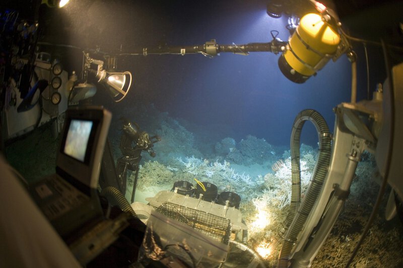
The primary instrument in the survey was an underwater drone — a remotely operated vehicle that transmits live video in real time and can collect physical samples without placing divers at risk at depth. The surface crew watches a continuous video feed, directs the vehicle’s movements, and records everything the cameras capture.
The team also deployed a Deep Sea Camera System alongside the underwater drone. Functionally analogous to the trail cameras used by wildlife biologists on land — devices left in position to record footage passively over hours or days — these underwater units capture behaviour that active submersibles can disturb. Underwater drones generate noise, light, and water movement; a passive camera system placed at depth and left undisturbed records marine life as it behaves in the absence of human intervention. The combination of active, real-time drone footage and passive camera documentation produces a more complete evidential picture than either tool alone.
The significance of this technological pairing becomes clear when set against what was available in the 1960s. At the time of the reef’s initial identification, deep-sea surveys relied on trawl nets — which physically drag through the water column and across the seafloor — and rudimentary cameras that offered limited resolution and no real-time observation. The absence of modern underwater drone technology helps explain both why the reef was never comprehensively mapped and why subsequent researchers lacked the means to reinvestigate it without prohibitive logistical investment. As Discover Wildlife notes, the survey that confirmed the reef’s survival represented a qualitative leap in what is observationally possible at this depth.
What the Drone Footage Actually Showed — and What It Did Not
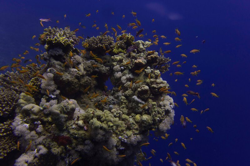
The footage confirmed a living, structured coral reef — not a degraded remnant or a relic colony clinging to existence, but an active ecosystem with coral formations intact at more than 50 metres depth off the Beninese coast. In marine rediscovery science, visual confirmation from a named, attributable expedition with photographic or video evidence constitutes the accepted evidentiary standard. Acoustic data or trawl-catch records alone would not meet that threshold; the drone footage does.
What the footage cannot yet establish is equally important to state clearly. Species-level biodiversity counts — the full taxonomic inventory of which coral species and associated organisms are present — require follow-up sampling and laboratory analysis. Coral cover percentage, a standard metric for reef health, has not been published. Population trend data, which would allow scientists to say whether the reef is stable, recovering, or declining, requires baseline measurements that do not exist for a site unmonitored for six decades. The reef has been confirmed as alive; it has not been confirmed as thriving in any comparative or historical sense, because no historical baseline exists for direct comparison.
This is not a minor caveat. The difference between “exists and is viable” and “is in good ecological health” is scientifically significant, and responsible reporting requires holding those two statements apart. CBS19 News and other outlets covering the story have noted that full findings and conservation recommendations remain subject to peer-reviewed publication — the necessary next step before firm scientific conclusions can be drawn.
The Science of ‘Lost’ Species and Why They Stay Lost
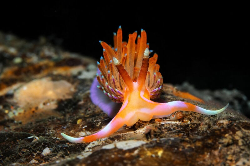
Scientists use the term “Lazarus taxon” — borrowed from the biblical figure and applied formally in both palaeontology and conservation biology — to describe a species or population that disappears from the observational or fossil record and then reappears. The concept captures something real about how biological knowledge works: absence from the record is not the same as absence from the world. Animals, plants, and ecosystems can persist unseen in locations that surveys never reach, at depths that instruments cannot access, or in regions where research funding simply does not flow.
In marine contexts, the mechanism of presumed extinction or functional forgetting operates differently than on land. Terrestrial species can be searched for systematically across defined habitats; a camera trap network or field survey team can cover substantial ground. Ocean surveys at mesophotic or greater depths require vessels, underwater drones, and operational budgets that most research institutions in the relevant regions cannot sustain. NOAA — the United States National Oceanic and Atmospheric Administration — has estimated that more than 80 percent of the ocean remains unmapped or unexplored to a meaningful scientific standard. Against that backdrop, a single reef going unsurveyed for 60 years is not an anomaly. It is a representative data point.
The species and ecosystems rediscovered after being presumed gone are therefore not rarities of nature so much as rarities of observation. The ocean’s deep and mesophotic zones are biologically productive and structurally complex; what is rare is the combination of funding, technology, and institutional priority required to examine them properly. The Times of India situates the Benin discovery within exactly this context: the reef survived not because it was hidden in any dramatic sense, but because the right instruments were never deployed to find it.
Why the Rediscovery Has Real Conservation Consequences
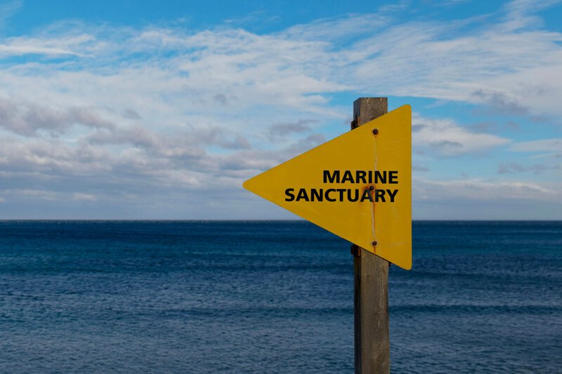
Confirmed rediscoveries of marine species or ecosystems carry specific, practical weight in conservation policy. Proof-of-survival data — documented visual evidence that a site is biologically active — can trigger protective designation processes, prompt revised threat assessments, and unlock funding streams that presumed-dead sites would never attract. None of that process is automatic; it requires formal documentation, peer-reviewed publication, and engagement with regulatory bodies. But the evidentiary foundation laid by this survey is the prerequisite for all of it.
The threats the reef faces going forward are documented and serious, independent of its survival to this point. Deep-sea and mesophotic reefs globally face pressure from bottom trawling — a fishing practice in which weighted nets are dragged across the seafloor, physically destroying complex reef structures — as well as prospecting activity related to deep-sea mining and the progressive effects of ocean warming on coral physiology. The Benin reef’s survival of six decades without systematic scientific attention does not confer immunity to any of these pressures.
The broader implication of the find extends beyond this single site. If a structured coral ecosystem can persist unexamined for 60 years in waters adjacent to a populated coastline, comparable systems may exist elsewhere along the West African shelf — and possibly along other chronically under-surveyed coastal margins globally. The survey that located the Benin reef represents a potential template for targeted underwater drone programmes designed specifically to reinvestigate sites that dropped from scientific attention before modern deep-sea imaging technology existed. Coverage of the discovery has flagged this replicability question as one of the immediate scientific priorities emerging from the find.
What Scientists Still Need to Determine

The immediate research agenda at the Benin site is substantial. Taxonomic identification — establishing which specific coral species are present, along with the fish, invertebrates, and microbial communities that constitute the full reef ecosystem — requires physical samples and laboratory analysis not yet completed or published at the time of writing. Assessment of reef extent and structural complexity, environmental monitoring to establish baseline water temperature and chemistry conditions, and a formal accounting of coral cover percentage are all necessary before scientists can make any defensible statement about the reef’s ecological status beyond confirmed survival.
The question of why this reef survived — whether its depth placed it below the most damaging fishing activity in the region, whether local water conditions were particularly stable, or whether some combination of factors protected it — remains unanswered. Scientists do not yet have sufficient data to determine whether the reef’s population is stable, recovering from historical disturbance, or in gradual decline. These are not secondary questions; they are the core scientific and conservation questions that the initial rediscovery makes possible but does not resolve.
What the survey has definitively established is narrower and more valuable for being precise: a coral reef written off by the research community roughly 60 years ago is demonstrably alive, structurally intact at more than 50 metres depth off Benin, and accessible to the kind of systematic study that was not technologically feasible when it was first identified. The deep sea still holds answers to questions scientists stopped asking. The tools to pursue those questions now exist — and the Benin coral garden is concrete, documented proof of what happens when they are used.