
More than a thousand years of continuous human footfall have left something unexpected on Japan’s Kii Peninsula: one of the most biodiverse temperate forest corridors on Earth, shaped not by conservation policy but by the seasonal rhythms of pilgrimage. Ecologists studying the Kumano Kodō network are now asking a question that cuts to the heart of how landscapes work — did centuries of ritualized, low-impact human movement accidentally function as an ecological management system? The answer is more complicated, and more interesting, than a simple yes.
What Makes a Trail ‘Ancient’ — And Why That Age Matters Ecologically
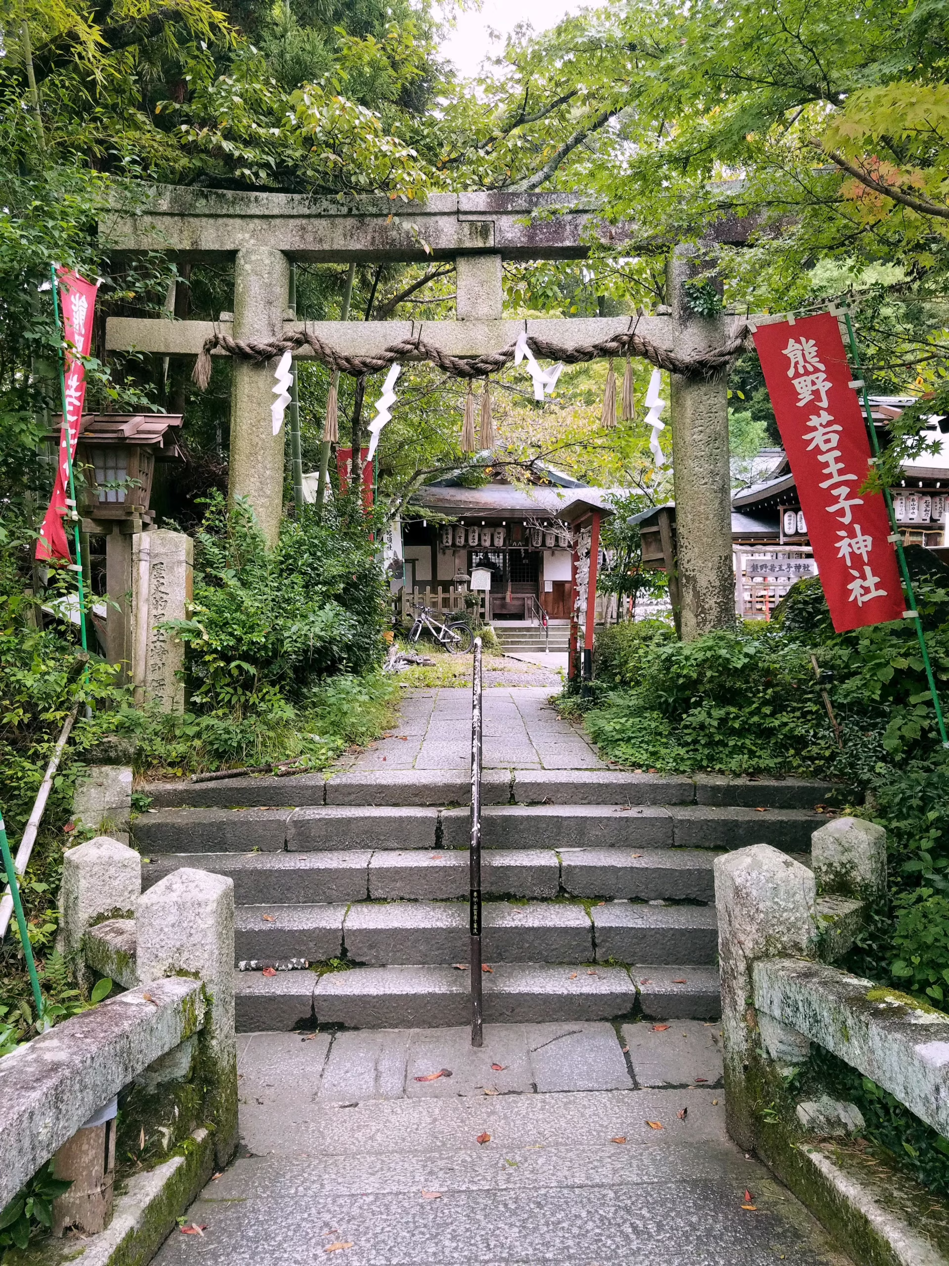
Japan’s oldest walking trails predate modern land management by centuries, creating what ecologists call legacy landscapes: places whose biological character was shaped by a now-vanished or slowly-vanishing human behavior. The Kumano Kodō’s routes across the Kii Peninsula and the Nakasendo — which once connected Edo (now Tokyo) to Kyoto along a mountain corridor — are among the clearest surviving examples of this phenomenon in the temperate world.
Trail age matters because forest ecosystems operate on timescales of decades to centuries. A path walked continuously for a thousand years has allowed mycorrhizal fungal networks, old-growth understory plants, and canopy structure to stabilize around a fixed human footprint. Mycorrhizal networks are the underground webs of fungi that connect tree root systems, enabling trees to share nutrients and chemical signals; they are highly sensitive to soil disturbance and can take decades to re-establish after disruption. A trail that has not shifted in centuries, paradoxically, may disturb far less cumulative soil than one that is repeatedly rerouted or widened — because the damage zone never expands.
The Nakasendo’s preserved segment between Tsumago-juku and Magome-juku is a rare case where both the cultural and ecological layers of this legacy remain intact and walkable. The old Edo-period road surface is flanked by secondary forest that has been regenerating since the route was bypassed by modern transport in the early twentieth century — now old enough to show early signs of old-growth transition, including the return of interior-specialist understory species that cannot survive near disturbed forest edges. Japan’s ancient pilgrimage trails collectively represent a category of living heritage that conventional tourism infrastructure rarely captures or adequately explains.
The Kumano Kodō as a Living Laboratory: Three Routes, Three Ecological Stories

The Kumano Kodō’s three main routes traverse dramatically different ecosystems, giving researchers what amounts to a natural transect from sea-level subtropical vegetation to subalpine terrain within a single pilgrimage network. The Nakahechi — the Imperial Route threading through mountain forest — follows interior ridgelines that function as what conservation biologists call a refugium: a landscape stable enough over long periods to let slow-reproducing species persist while surrounding land use changes around them. The Kohechi crosses steep high-elevation terrain. The Ohechi traces the coastline. Each tells a distinct ecological story while belonging to the same cultural system, which makes the network unusually valuable as a research subject.
The Kii Peninsula’s forest interior, which the Nakahechi threads through, falls within a region the Japanese Ministry of the Environment has identified as holding exceptionally high plant species richness for a temperate zone. The area’s designation as a UNESCO World Heritage cultural landscape — granted in 2004 — has helped limit industrial encroachment. Researchers note, however, that the physical geography of the peninsula, including high rainfall, complex topography, and a relatively mild glacial history, is likely an equally important driver of that richness. Attributing biodiversity outcomes to cultural protection alone overstates what the evidence currently supports, and the distinction matters if this model is to be applied elsewhere.
The Kohechi route’s high-elevation corridors are of particular interest to researchers studying wildlife movement. Low-traffic pilgrimage paths appear to function as wildlife corridors for deer, black bear, and Japanese serow in ways that vehicle roads do not — a distinction that trail-ecology researchers attribute to the absence of noise, light pollution, and edge-effect disturbance that accompanies paved infrastructure. This is an active area of investigation rather than settled consensus, and the evidence base is still being assembled.
One emerging and methodologically contested hypothesis holds that ritual prohibitions on hunting near sacred Kumano shrines, enforced across centuries, created de facto wildlife sanctuary zones whose effects persist in current species distributions. Quantifying a historical taboo’s contribution to present-day biodiversity is genuinely difficult, and researchers working in this space are candid about the challenge of isolating cultural variables from physical ones. The hypothesis is plausible and worth investigating; it is not yet proven.
Pilgrimage Ecology: How Ritual Behavior Accidentally Managed a Landscape
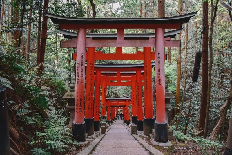
Pilgrimage routes impose a distinctive ecological footprint that differs fundamentally from agricultural or industrial land use: narrow, stable paths; seasonal use peaks concentrated in spring and autumn; and prohibitions on cutting trees or hunting near sacred sites. Researchers in the field of sacred natural sites studies argue this combination produced measurable conservation outcomes over timescales that most formal protected areas have not yet matched — a claim that, even with appropriate caveats, deserves serious attention from conservation planners.
A 2017 review published in Ecology and Society by Bhagwat and colleagues documented that sacred groves and pilgrimage landscapes globally tend to harbor higher native species richness than adjacent secular land, attributing the pattern to taboo-enforced protection rather than active management. The finding is consistent across multiple cultural contexts, which strengthens the inference that religious constraints on land use have functioned as an inadvertent conservation mechanism — though the authors are careful to note that correlation across sites does not establish causation within any single landscape.
In Japan’s specific case, the Shinto and Buddhist frameworks governing Kumano worship designated surrounding forests as part of a satoyama buffer mosaic. Satoyama — literally “village mountain” — refers to the traditional Japanese mosaic of managed woodland, fields, and water that borders human settlement. Forest ecologists now recognize that this managed mosaic maintained habitat connectivity between shrine-forest patches for centuries, functioning as a landscape-scale network rather than a collection of isolated protected points. The concept has been formally adopted by the UN Convention on Biological Diversity as a model for sustainable landscape management — a recognition of its practical utility that extends well beyond its cultural origins. Japan’s pilgrimage routes are inseparable from this land-management history: the paths and the ecological conditions around them co-evolved over the same centuries.
What the Science Actually Confirms Versus What Remains Open
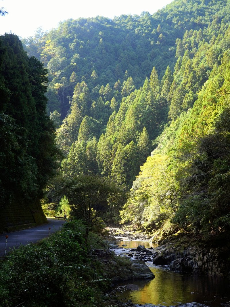
It is worth being precise about what researchers have established and what remains genuinely uncertain. On the confirmed side: the UNESCO-designated Kii Mountain Range forests contain documented high levels of endemic plant species and provide critical habitat for the Japanese giant salamander and multiple raptor species, according to assessments by the Japan Ministry of the Environment. It is also well established in trail ecology literature — summarized in reviews published in journals including the International Journal of Wilderness — that unpaved, narrow trail infrastructure generates significantly lower soil compaction and hydrological disruption than vehicle roads, preserving the functional integrity of forest soils over time.
What is not resolved is whether pilgrimage-era taboos specifically caused current biodiversity patterns, as opposed to the Kii Peninsula’s physical geography being the dominant driver. Researchers including Takeuchi and colleagues, writing in Landscape and Urban Planning in 2010, flag the difficulty of isolating cultural from physical variables in landscapes where both operate simultaneously — a methodological challenge that applies directly to the Kumano Kodō case and should temper confident claims in either direction.
There is also a practical conservation concern that trail managers are actively monitoring: visitor pressure on the Kumano Kodō increased substantially after UNESCO designation in 2004, and sustained elevated foot traffic may gradually erode the ecological conditions — particularly soil structure and understory plant composition — that made the landscape historically resilient. The living laboratory is not a static one, and the act of studying these trails at scale changes them.
Walking It: What a Hiker Actually Observes
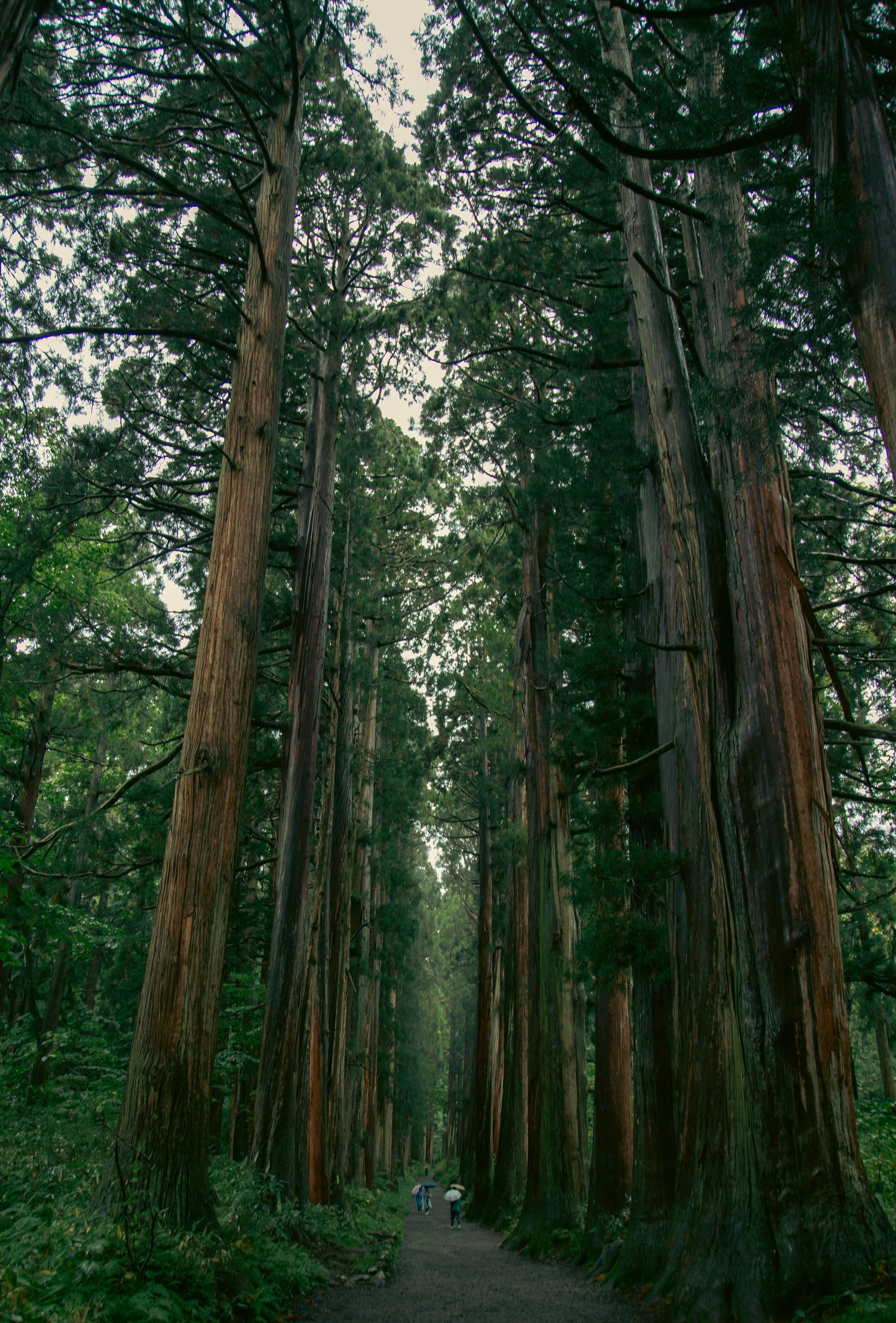
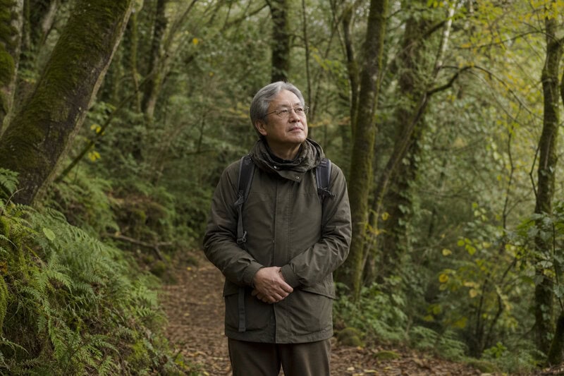
On the Nakahechi route, walkers pass through cryptomeria cedar forest so old and dense that ecologists use it as a reference benchmark for pre-agricultural Japanese temperate forest structure. The canopy closure and moss-covered understory are direct products of centuries without logging pressure. This is not scenery in the conventional tourist sense — it is a measurable ecological state that took centuries to produce and cannot be replicated on any timescale a traveler is likely to care about.
What a careful walker notices that a casual tourist often misses is the abrupt change in bird calls and insect sound at the transition from secondary forest edge into older interior forest. This auditory shift is a reliable indicator of what ecologists call interior species — organisms that cannot survive near habitat edges and therefore serve as practical, real-time indicators of forest quality. Hearing that transition is, in a modest but genuine sense, reading the ecological record of the landscape directly rather than through interpretation panels.
Both the Kumano Kodō and the Nakasendo are fully accessible to non-religious hikers with standard trail fitness. No special permits are required for the main routes. The Kumano Kodō Visitor Center in Tanabe City provides English-language ecological as well as cultural interpretation — an unusual integration that positions these trails as objects of natural-history interest rather than only spiritual or heritage tourism. The sensory experience of walking these routes resists easy summary, but the combination of ecological depth and historical continuity is not easily replicated on trails of more recent origin.
Why This Model Matters Beyond Japan
The Kumano Kodō case is increasingly cited in conservation planning as evidence that cultural heritage protection can function as a durable proxy for biodiversity protection. The argument is specific and pragmatic: preserving the human meaning of a landscape is sometimes the most politically sustainable way to preserve its ecological function, because communities will defend sacred or culturally significant places through social mechanisms that outlast government programs and funding cycles.
The Convention on Biological Diversity’s Satoyama Initiative, launched in 2010 and coordinated through the UN University in Tokyo, explicitly draws on Japan’s pilgrimage landscape management as a template for what it terms Socio-ecological Production Landscapes — a framework now being tested across more than twenty countries. The transferable lesson is precise: it is not that walking is inherently beneficial for ecosystems. It is that the social structures built around certain trails — taboos, religious authority, seasonal rhythms of use — constrained damaging land use over timescales that formal protected areas, which depend on continued political will and budget allocation, have rarely matched.
The practical implication for travelers is correspondingly specific. Choosing to walk Japan’s ancient pilgrimage routes over conventional tourist circuits is not merely an aesthetic or countercultural preference. It directs visitor spending toward landscapes whose continued protection depends on being seen, valued, and economically relevant to the local communities who have managed them, in one form or another, for centuries. The footsteps that shaped these ecosystems are still being counted — and the ones added now are part of that record.