
Spain and Portugal are moving right now — not in any metaphorical sense, but measurably, by a few millimeters every year, rotating clockwise as the African and Eurasian tectonic plates grind slowly into each other beneath the Iberian Peninsula. That same planetary-scale mechanism, rendered in Spanish as tectónica de placas, is responsible for the Himalayas, the Pacific Ring of Fire, and the 2011 Tōhoku earthquake, which shifted Japan’s main island by roughly 2.4 meters in minutes, according to the United States Geological Survey.
The Core Vocabulary: What to Call These Things in Spanish
Before diving into the science, the terminology deserves precise treatment, because Spanish speakers encounter two related but distinct terms. Tectónica de placas refers to the overarching scientific theory — the framework that explains how and why Earth’s outer shell moves. Placa tectónica (plural: placas tectónicas) refers to an individual rigid slab of lithosphere — the physical thing itself. The distinction matters in a classroom or in a news article about an earthquake: one term names the explanation, the other names the object being explained.
A related term worth knowing is deriva continental — continental drift — which names the earlier, less complete hypothesis that preceded the full plate tectonics theory. Understanding why those two terms are not interchangeable is a useful entry point into the history of the science itself.
Alfred Wegener and the Idea Everyone Laughed At
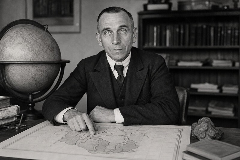
The story of how humanity came to understand plate tectonics begins not with triumph but with professional humiliation. In 1912, German meteorologist Alfred Wegener proposed continental drift — the hypothesis that today’s continents were once assembled into a single supercontinent he called Pangaea — and was swiftly dismissed by the geological establishment. The central objection was not petty: geologists demanded a credible physical mechanism, and Wegener could not supply one. He suggested that continents plowed through solid oceanic rock under centrifugal force, a proposal that violated basic physics.
Yet Wegener’s observational evidence was genuinely compelling. Matching fossil species appeared on opposite sides of the Atlantic. Rock formations in Brazil and West Africa mirrored each other with striking precision. Glacial deposits had been found in tropical regions that could only make sense if those landmasses had once sat near the poles. The evidence pointed somewhere important, even if Wegener’s proposed engine was wrong.
The American Association of Petroleum Geologists convened a symposium in 1926 specifically to rebut Wegener’s theory; according to historian of science Naomi Oreskes in her 1999 work The Rejection of Continental Drift, the consensus among attendees was that continental drift belonged closer to mythology than to geology. Wegener died in 1930 on a Greenland expedition, still professionally marginalized. Within three decades, the ocean floor would prove him essentially correct — while quietly correcting his mechanism.
The Ocean Floor Changes Everything: Seafloor Spreading Explained
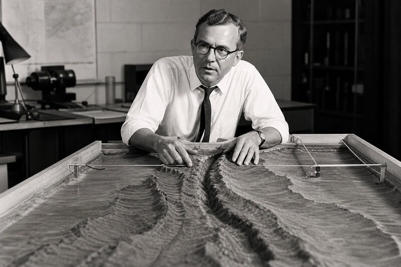
The vindication came from a direction almost no one had thought to look. Before the 1950s, the ocean floor was largely unmapped and widely assumed to be a featureless plain. U.S. Navy-funded sonar surveys during and after World War II revealed something extraordinary instead: a 65,000-kilometer mid-ocean ridge system, the longest mountain chain on Earth, threading through every major ocean basin. In 1962, Princeton University geologist Harry Hess used this data to propose seafloor spreading — the idea that molten rock continuously wells up at these ridges, creating new oceanic crust that pushes older crust toward the continents.
This was the mechanism Wegener had been unable to provide. The ocean floor itself functions as a conveyor belt: new material is generated at mid-ocean ridges, and old material is recycled back into the mantle at subduction zones — regions where one tectonic plate dives beneath another. The continents do not plow through ocean rock; they are carried by it.
The confirmation came quickly and quantifiably. In 1963, geologists Frederick Vine and Drummond Matthews published findings in Nature showing that the oceanic crust records Earth’s magnetic field reversals in symmetric stripes on either side of mid-ocean ridges. As new crust solidifies at a ridge, it locks in the orientation of Earth’s magnetic field at that moment. Because the field reverses periodically, the resulting stripes on either side of a ridge are mirror images of each other — an independent, readable clock confirming that seafloor spreading was real and ongoing. This convergence of sonar mapping, magnetic anomaly data, and subsequent deep-sea drilling transformed a fringe hypothesis into a testable, falsifiable theory.
How Plate Tectonics Works: The Plain-Language Mechanism
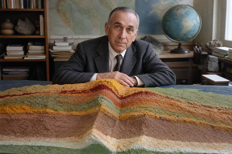
Earth’s outer shell — the lithosphere — is broken into roughly 15 major and several dozen minor rigid slabs. These are the tectonic plates, or placas tectónicas in Spanish. They float on the asthenosphere, a partially molten layer of the upper mantle that behaves like an extremely viscous fluid over geological timescales, according to the USGS.
Plates interact in three fundamental ways. They diverge — moving apart at mid-ocean ridges, where new crust is born. They converge — colliding to produce mountain ranges or subduction zones, where one plate descends beneath another. Or they slide laterally past each other along transform faults, the process responsible for California’s San Andreas Fault system. Each interaction type produces a distinctive geological signature that geologists can read from the rock record.
Along the western coast of South America, the Nazca Plate dives beneath the South American Plate, generating both the Andes mountain chain and some of the most powerful earthquakes ever recorded. This process, called subduction — subducción in Spanish — is the same one that produced the 1960 Valdivia earthquake in Chile, still the largest instrumentally measured earthquake in history at magnitude 9.5.
What drives all this motion? Plate movement is powered by a combination of forces: ridge push, in which new magma forces plates apart at spreading centers; slab pull, in which the weight of a cold, dense subducting slab drags the rest of the plate behind it; and convection currents circulating heat through the mantle. Research by Forsyth and Uyeda, published in Geophysical Journal International in 1975, identified slab pull as the dominant driving force among these mechanisms, though the precise balance remains an active area of study in geophysics.
Spanish Terminology in the Classroom and in the Field
For Spanish-speaking students, teachers, and science communicators, a working vocabulary of plate tectonics terms is genuinely useful. The most important terms, with their English equivalents, include: tectónica de placas (plate tectonics), placa tectónica (tectonic plate), deriva continental (continental drift), dorsal oceánica or dorsal mesooceánica (mid-ocean ridge), zona de subducción (subduction zone), falla transformante (transform fault), manto (mantle), litosfera (lithosphere), astenosfera (asthenosphere), expansión del fondo oceánico (seafloor spreading), and punto caliente (hotspot).
These are the terms students in Mexico, Colombia, Chile, Argentina, Spain, and across the Spanish-speaking world encounter in geology curricula. Knowing them precisely matters for reading scientific literature in Spanish, interpreting earthquake hazard communications from national agencies, and following news coverage of volcanic events in real time. SpanishDict’s entry for tectonic plates offers a quick reference for usage in context.
Why the Spanish-Language Context Carries Real Stakes
Spanish is the primary language of 21 countries, many of which sit directly on or near some of the most tectonically active regions on Earth: the Andes subduction system, the Caribbean plate boundary, and the Ibero-Maghrebian arc. Accurate Spanish-language science communication about plate tectonics is not merely a translation exercise — it is a public-safety issue. Communities from Lima to Mexico City to Managua live with earthquake and volcanic hazards that are direct consequences of plate boundary processes.
Spain and Portugal’s slow clockwise rotation of a few millimeters per year, driven by the ongoing convergence of the African and Eurasian plates, is a vivid local illustration of the theory’s explanatory reach. The Iberian Peninsula sits on what geologists describe as a microplate — a sub-unit of the larger Eurasian Plate — and its motion is now tracked in real time by GPS networks, turning the peninsula into a living laboratory for observing plate tectonics as it continues to unfold.
For Spanish-speaking students and educators, grounding the theory in named regional examples transforms an abstract global framework into observable geology. The Canary Islands, sitting above a volcanic hotspot off the northwest African coast, raise genuinely contested questions about whether their volcanism originates from a deep mantle plume or from plate-boundary effects — a debate that connects abstract geophysics to islands that millions of people inhabit. The Pyrenees, meanwhile, record the collision of the Iberian and Eurasian plates tens of millions of years ago in the folded rock of a mountain range visible from both France and Spain.
Mexico offers another instructive case. The country sits at the convergence of five tectonic plates — the North American, Pacific, Cocos, Caribbean, and Rivera plates — making it one of the most seismically complex nations on Earth and giving Mexican students and emergency planners an especially urgent stake in understanding tectónica de placas in depth. The 1985 Mexico City earthquake, which killed thousands and caused catastrophic structural damage, was a direct product of the Cocos Plate subducting beneath the North American Plate off the Pacific coast — a textbook subduction event with devastating real-world consequences hundreds of kilometers inland.
What Plate Tectonics Has Unified — and What Remains Unsettled
The National Academy of Sciences, in its 1993 report Solid-Earth Sciences and Society, described plate tectonics as one of the most successful unifying theories in the natural sciences. The assessment holds. The theory explains the geographic distribution of earthquakes and volcanoes, the age progression of oceanic crust moving away from ridges, the formation of economically critical ore deposits, past climate shifts driven by changing continental configurations, and even the deep history of biological evolution across landmasses that once connected and then separated.
Scientific consensus is robust on the core elements: the existence and measurable motion of tectonic plates, the seafloor spreading mechanism, and the subduction cycle are supported by decades of GPS geodesy, seismic tomography, and ocean drilling data from international programs including the International Ocean Discovery Program. These are not matters of scientific debate.
Genuinely contested questions occupy the field’s frontier. The precise role of mantle plumes — columns of unusually hot rock rising from deep in the mantle — versus plate-boundary processes in generating volcanism far from plate edges, as seen in Hawaii or the Canary Islands, remains unresolved. The tectonic history of early Earth, before roughly three billion years ago, is poorly constrained because so little ancient crust survives. And whether plate tectonics as Earth exhibits it could operate on other rocky planets — Mars, Venus, exoplanets — is an open and actively researched question.
Researchers are also refining models of so-called diffuse plate boundaries — broad zones of deformation rather than sharp lines — which complicates earthquake hazard forecasting in geometrically complex regions like the Mediterranean. Peter Bird’s 2003 analysis in Geochemistry Geophysics Geosystems catalogued these boundary types in detail, underscoring that the clean diagrams in textbooks represent an idealization of a far messier reality beneath the Iberian Peninsula and across the broader African-Eurasian collision zone.
Wegener’s Vindication and What It Reveals About Science Itself
The plate tectonics saga is one of science’s most instructive case studies in how paradigm shifts actually work. There was no single eureka moment. Vindication arrived through the accumulation of evidence from an unexpected direction — the ocean floor that barely anyone had mapped before the 1950s — gathered using instruments that did not exist when Wegener first proposed his theory. The geologists who rejected continental drift were not foolish; they were applying rigorous standards to a hypothesis that genuinely lacked a credible physical mechanism. New technology, not better argument, broke the deadlock.
Wegener himself was wrong about the mechanism but right about the phenomenon — a distinction science’s self-correcting process eventually sorted out, separating the durable insight from the flawed detail. That separation took roughly five decades and required sonar, magnetometers, and deep-sea drilling ships. Understanding how plate tectonics was discovered means understanding that the process was slow, contested, technologically dependent, and ultimately driven by evidence rather than authority.
Today, with GPS satellites tracking plate motion to millimeter precision and seismic networks mapping Earth’s interior in three dimensions, tectónica de placas stands as proof that science’s most transformative ideas sometimes need entirely new instruments before the evidence catches up with the vision. The ground beneath Spain is still rotating. The theory that explains why took decades of ridicule before the ocean floor settled the argument for good.