
The Rio Grande recorded zero-flow days at a rate that mid-20th-century hydrological models did not project until the 2050s — and it is happening now. The Colorado River, once powerful enough to carve the Grand Canyon over millions of years, no longer reliably reaches the sea, its delta reduced to cracked mud flats where a living river once emptied into the Gulf of California.
The Rivers Disappearing Ahead of Schedule
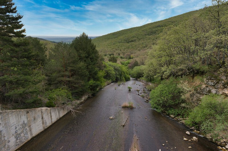
The U.S. Geological Survey tracks streamflow at thousands of gauges across the country, and its data show an accelerating decline in perennial rivers — rivers that once flowed year-round — across the American West, outpacing projections made even a generation ago. What the USGS is measuring is not merely a drought. It is a structural shift in how water moves through some of the most water-stressed landscapes on Earth.
The central tension is this: the science of hydrology predicted stress on these river systems, but not this speed. Researchers are now being forced to revise fundamental assumptions about the water cycle — not because their physics was wrong, but because the forces acting on that cycle are interacting in ways older models did not fully account for. This article walks through exactly why rivers are failing faster than models said they would, using the actual science without jargon overload.
What Hydrology Actually Studies — and Why It Matters Here

Hydrology is the scientific study of the movement, distribution, and management of water on Earth, encompassing the water cycle, surface water, and groundwater resources. The USGS describes hydrology as covering the occurrence, distribution, movement, and properties of Earth’s waters — a scope broad enough to include everything from a mountain snowpack to a deep aquifer thousands of feet underground.
The hydrologic cycle — the engine underneath all of this — works as follows: water evaporates from oceans and land surfaces, rises into the atmosphere, condenses into precipitation, and returns to rivers, lakes, and underground aquifers in a continuous loop. EBSCO Research Starters describes this as the circulation of water through the atmosphere, oceans, lakes, and subsurface formations — a process that has sustained life on Earth for billions of years and that human civilization has been quietly dismantling for decades.
The direct line to river health runs through both movement and storage. As the UK Environment Agency notes, hydrologists study how water moves and how it is stored — and it is disruptions to both of those dimensions simultaneously that are now catching predictive models off guard. When movement is accelerated by warming and storage is depleted by extraction, the system does not simply slow down. It can tip.
Measurement is central to detecting that tip early. In environmental science, hydrology also refers to the physical behavior of a water body itself — changes in water level, flow volume, and dynamic properties tracked at gauges in real time. Without that observational infrastructure, the acceleration now visible in the data would have remained invisible until far more damage had accumulated.
The Three Mechanisms Draining Rivers Faster Than Predicted
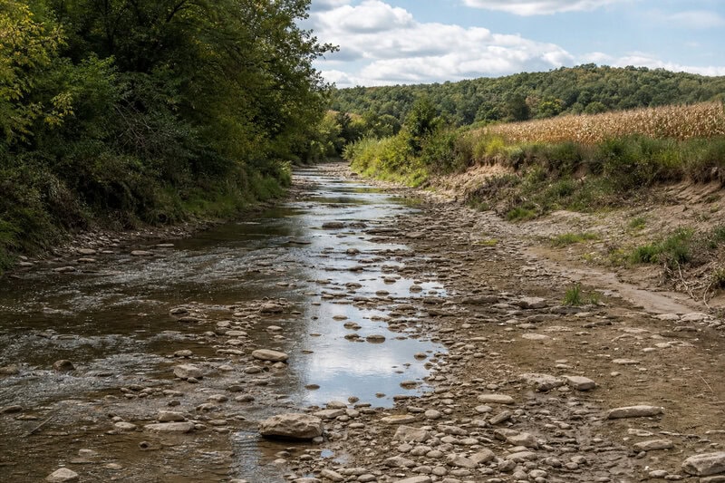
Three distinct but interacting mechanisms explain why rivers are losing flow ahead of schedule. The first two are well-documented in peer-reviewed literature and accepted by major scientific agencies. The third is established in principle but its relative weight — and how it compounds the others — remains an active area of research.
Vapor Pressure Deficit: The Atmosphere’s Growing Thirst
Warmer air has a greater capacity to hold moisture, and it exercises that capacity aggressively. Researchers publishing in Science in 2021 demonstrated that rising atmospheric demand for water — measured as vapor pressure deficit, the difference between how much moisture air holds and how much it could hold — is pulling water out of soils and vegetation before it can reach streams. This effectively creates a hidden tax on river replenishment: precipitation that would once have run off into streams is instead evaporated back into the atmosphere before it ever arrives at a gauge. Models built on 20th-century climate data systematically underestimated how large that tax would become as temperatures rose.
Groundwater Disconnection: Losing the Buffer
Rivers are not sustained by rainfall alone. Between rain events, many rivers are fed by slow-releasing discharge from aquifers — groundwater that seeps into streambeds and maintains flow through dry seasons. The USGS calls this contribution “baseflow,” and it is the difference between a perennial river and an episodic one. In heavily pumped agricultural and municipal regions, water tables have dropped below the level at which aquifers can contribute to streamflow at all, severing a buffer that older models treated as essentially stable. This is the core finding of groundwater depletion science: what was assumed to be a multi-generational resource is being drawn down in decades.
Soil Moisture Debt: When the Sponge Is Empty
After prolonged drought, soils behave like a dry sponge. Precipitation that falls on drought-stressed soil is absorbed into the soil column rather than running off into streams — the soil must be recharged before any water can escape to a river. WetlandInfo’s framework of surface and subsurface water movement helps explain why even average rainfall years now produce below-average streamflow in watersheds that have experienced consecutive dry years. The soil moisture debt carries forward, and in a warming climate that debt tends to grow faster than it is repaid.
Why the Old Models Missed This
Historical hydrological models were calibrated on a principle called stationarity — the assumption that the statistical properties of past hydrology reliably predict future hydrology. A landmark 2008 paper by Milly and colleagues in Science challenged this foundational premise directly, arguing in a phrase that has since become widely cited in the field: “stationarity is dead.” The climate system had shifted enough that past patterns were no longer a safe guide to future behavior.
Early water cycle and climate change projections did account for reduced snowpack and shifted precipitation timing — both real and documented problems. What they underweighted was the nonlinear amplification that occurs when rising evaporative demand, groundwater depletion, and soil moisture deficits all hit a river system simultaneously. Each mechanism alone would have been manageable. Their interaction is proving to be something different.
Data gaps compounded the problem. Streamflow gauge networks thinned in many regions during the budget-constrained decades of the 1980s through the early 2000s, and the USGS has noted that sparse historical records made it significantly harder to detect trend acceleration until it was already a decade underway. The signal was there. The instruments to read it clearly were not always in place.
It is worth being precise about where scientific opinion divides here. Some hydrologists argue the models were not fundamentally wrong but were applied to scenarios outside their designed range — pushed into climate space they were never calibrated to handle. Others contend that structural errors in how models represent soil-moisture feedbacks require rebuilding key components from first principles. Both positions appear in current peer-reviewed debate, and neither has fully prevailed.
Groundwater: The Hidden Half of the Crisis
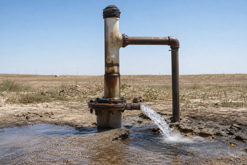
If declining snowpack is the visible face of the Western water crisis, groundwater depletion is the part that stays hidden until it is too late to ignore. NASA GRACE satellite data, analyzed by researchers at UC Irvine and published in Nature, showed that 21 of Earth’s 37 largest aquifer systems were being depleted faster than they are naturally recharged. These are not marginal systems. They supply drinking water and irrigation to hundreds of millions of people.
The connection to surface rivers is direct and quantifiable. As baseflow declines — because the aquifers that once sustained it are no longer full enough to discharge into streams — rivers that once flowed continuously become rivers that flow only during and immediately after rain events. They become episodic. Ecosystems built around perennial rivers do not simply adapt to episodic ones; they collapse, and the collapse of riparian ecosystems can further accelerate the drying by removing the vegetation that helps retain local soil moisture.
Agricultural pumping is the primary documented driver in most cases, though the science is careful to distinguish between regions. In the U.S. High Plains, irrigation extraction from the Ogallala Aquifer dominates the depletion story. In parts of South Asia, the combination of irrigation demand and rapidly growing municipal consumption compounds depletion at rates that outpace natural recharge by orders of magnitude. These are not the same problem wearing the same face; they share a mechanism but differ in scale, pace, and available remedies.
One emerging line of research — appropriately flagged here as early-stage — investigates whether aquifer depletion itself alters local evapotranspiration patterns in ways that create feedback loops accelerating surface drying. The hypothesis is physically plausible: as deep-rooted vegetation loses access to shallow groundwater, it either dies or draws more aggressively on remaining soil moisture, potentially intensifying the soil moisture debt described above. Early modeling suggests the feedback is real, but the mechanism is not yet well-constrained enough for confident quantification.
What Revised Hydrology Models Now Show
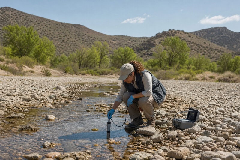
Next-generation hydrological models incorporate features that their predecessors treated as fixed or negligible: dynamic vegetation responses to drought stress, time-varying soil moisture states, and fully coupled groundwater-surface water interactions. Early results from modeling groups including those at the National Center for Atmospheric Research suggest that projected river decline timelines in water-stressed basins should be pulled forward by roughly 10 to 30 years compared to earlier estimates. That is a significant revision. It warrants public attention without overstating its finality — these are model outputs, and model outputs improve as observations accumulate.
The conceptual picture of the water cycle itself is being updated in parallel. The hydrologic cycle as explained in foundational educational resources — a clean loop of evaporation, condensation, precipitation, and runoff — is being supplemented with feedback arrows showing how human extraction and atmospheric warming interact to short-circuit that loop. The clean diagram is not wrong; it is incomplete in ways that now matter enormously for policy and planning.
Remote sensing is closing the data gap that allowed the trend to develop undetected for so long. GRACE-FO satellites, European Space Agency soil-moisture missions, and expanded USGS gauge telemetry now give hydrologists near-real-time views of the full water budget — from atmospheric moisture to deep aquifer storage — enabling detection of trend breaks that older annual-reporting systems would have taken a decade to confirm.
The policy implications follow from the science, though stating them here is not an editorial position. Several Western U.S. water compacts and international river-sharing treaties were negotiated using flow projections that hydrologists now consider overestimates. Hydrologists cited in Congressional testimony have flagged this mismatch as a governance risk. What agreements built on obsolete hydrology should become is a political question; that they were built on obsolete hydrology is a scientific one.
Five Things This Science Makes Clear — and Three It Does Not
Separating what the evidence firmly establishes from what remains contested is more useful than a summary that blurs the two. Here is where the science currently stands:
What the evidence firmly establishes: Rivers in arid and semi-arid regions globally are losing flow faster than mid-20th-century projections indicated. The three mechanisms responsible — increased evaporative demand, groundwater disconnection, and soil moisture debt — are individually well-documented and mutually reinforcing. Groundwater depletion in major agricultural aquifers is measurable from orbit and confirmed by in-situ well data. The stationarity assumption underpinning earlier models has been formally challenged in the peer-reviewed literature and is no longer a defensible planning baseline. Observational infrastructure — gauges and satellites combined — has materially improved the speed of trend detection.
What remains genuinely uncertain: Whether the acceleration will plateau as vegetation communities and land-use patterns adapt to new hydrological realities, or whether positive feedbacks will sustain or increase the rate of decline, is not yet resolved. The quantitative weight of the aquifer-evapotranspiration feedback loop is physically plausible but not yet well-constrained. Confidence intervals in model projections widen significantly past 2040, and the science does not support precise claims about conditions in that decade — only about the direction of travel.
What this means for monitoring: Hydrological monitoring infrastructure has direct scientific and practical value that is easy to underestimate in budget negotiations. The speed at which this trend was detected and causally attributed improved markedly once satellite and gauge data were combined and analyzed together. Investment in observation systems is not an abstraction. It is what allows the timeline to be revised before the consequences become irreversible.
The Revised Timeline Is the Finding
Hydrology — the science of how water moves, where it is stored, and how those dynamics change under pressure — is not merely describing a crisis unfolding in slow motion. It is actively revising the timeline on which that crisis unfolds. The revision runs in one direction only: faster than previously projected, across multiple river systems, driven by mechanisms that are individually understood and collectively underestimated.
That is not a reason for fatalism. It is a reason for taking the observational and modeling science seriously enough to act on it before the next revision is forced by conditions rather than by better data. The Rio Grande and the Colorado are not early warnings of a distant problem. They are the problem, documented in real time, by the science that predicted them — just not quite fast enough.