
A gap of nearly 500 days separates the fastest and slowest solar farm approvals in California — and the single most powerful predictor of which side of that gap a project lands on is not the size of the installation, the county it sits in, or the political climate of the moment. It is what the land looked like before a single permit application was filed.
The 500-Day Gap That Could Reshape California’s Energy Future
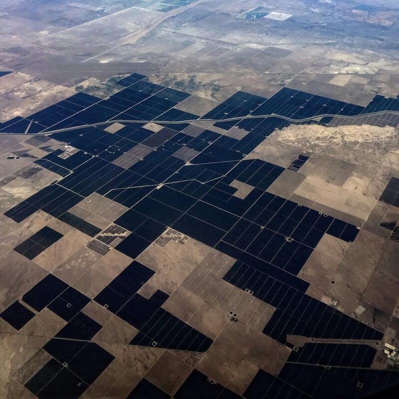
A new first-of-its-kind study by The Nature Conservancy and ECOnorthwest found that solar permitting timelines in California range from a median of roughly 110 days to more than 600 days — a span driven largely by one underappreciated variable: the preexisting land use of the proposed project site. That single factor can mean the difference between a solar farm powering homes within months or stalling in county review queues for years, according to more than 15 years of permitting data analyzed in the research.
The finding arrives at a critical moment. California has set some of the most ambitious clean energy mandates in the United States, and the pace at which utility-scale solar projects can move from application to operation is no longer merely a bureaucratic concern — it is an existential one for the state’s climate commitments. Understanding why some projects sail through approval while others grind to a halt requires examining two worlds that rarely get studied together: the science of land use classification and the institutional machinery of county permitting.
What “Land Use” Actually Means — and Why Permitting Agencies Care So Much
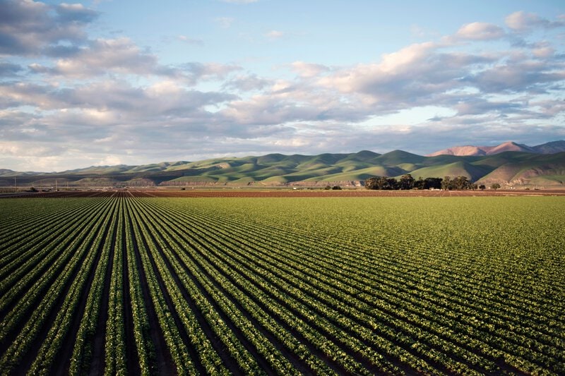
In the context of this research, land use refers to the category of human activity — or absence of it — that characterizes a parcel before a solar developer submits an application. The spectrum runs from active cropland and degraded pasture to former industrial sites, known as brownfields, all the way to intact native shrubland and grassland. These are not abstract categories. Counties and state agencies use land use designations as a direct proxy for environmental sensitivity, and that sensitivity determines how much regulatory scrutiny a project must survive before construction can begin.
The central mechanism is California’s landmark 1970 environmental law, the California Environmental Quality Act — universally known as CEQA. CEQA requires developers to assess and mitigate significant environmental impacts before receiving project approval. The length and complexity of that assessment scale directly with how ecologically intact the proposed site is. A project on a disturbed industrial parcel triggers far fewer required reviews than one proposed on undisturbed coastal scrub or native grassland, where species surveys, habitat assessments, hydrology studies, and cumulative impact analyses may each be mandatory.
The Nature Conservancy and ECOnorthwest study is described as the first analysis to systematically link these preexisting land use categories to actual, measured permitting durations for utility-scale solar across California counties — closing a data gap that researchers and policymakers have long acknowledged but never formally addressed.
The Study: 15 Years of Data, Dozens of Counties, and the People Inside the System
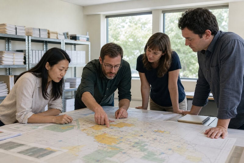
Researchers examined more than 15 years of county permitting records for utility-scale solar projects across California, constructing what amounts to the most comprehensive timeline dataset of its kind for the state. The methodology went beyond administrative records. The team also conducted interviews with county planning officials, a state agency, and solar developers — a deliberate choice to capture the human and institutional friction that raw data alone cannot reveal.
By triangulating permit records with land use classifications and on-the-ground stakeholder accounts, the study distinguishes between delays rooted in genuine environmental complexity and those rooted in administrative capacity, staffing shortfalls, or ambiguity in county zoning codes. That distinction matters enormously for policy, because the two types of delay demand entirely different solutions.
For national context, a separate study published in Frontiers in Sustainable Energy Policy, which examined permitting processes for wind and solar projects across 19 U.S. states, suggests that California’s challenges are significant but not entirely without parallel. The comparison also highlights structural features of California’s system that make it distinctively vulnerable to delay.
The Core Finding: Previously Disturbed Land Is a Fast Lane
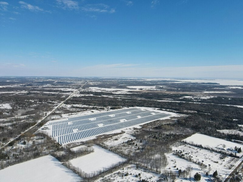
Solar projects sited on lands already shaped by human activity — degraded agricultural fields, former industrial parcels, or heavily altered terrain — move through the county permitting process significantly faster than projects proposed on undisturbed natural lands, according to The Nature Conservancy and ECOnorthwest findings. The mechanism is straightforward: disturbed lands carry a shorter environmental review burden because baseline ecological conditions are already compromised, reducing the number of species, habitat, and hydrology assessments a developer must commission and a county must formally evaluate.
Projects on intact natural lands, by contrast, can trigger multi-year biological surveys, cumulative impact analyses, and mitigation negotiations that individually add months and collectively push timelines well past the 600-day mark. This creates what the researchers effectively document as a tiered permitting reality — one in which the ecological history of a piece of ground functions as a de facto scheduling algorithm for the bureaucratic process that unfolds above it.
The 110-to-600-day range makes clear there is no single California solar permitting timeline. That variability complicates statewide planning, but it also carries an important implication: the fastest-permitting counties are doing something the slowest-permitting counties are not, and that gap is potentially closeable.
Why Permits Take So Long: The Institutional Anatomy of a Solar Approval
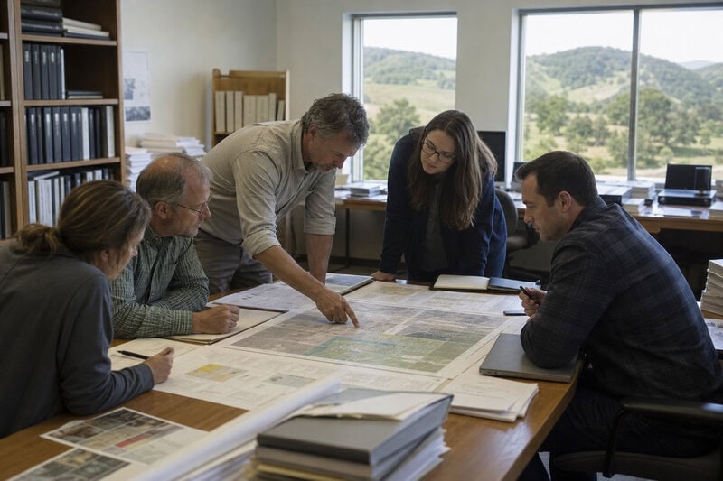
County planning departments — not a single state authority — hold primary jurisdiction over most utility-scale solar permits in California. That decentralized structure means timelines vary significantly based on local staff capacity, political context, and the specificity of each county’s land use ordinances. A single utility-scale solar application can require coordinated sign-off from multiple agencies: air quality districts, regional water boards, fish and wildlife authorities, and tribal consultation offices, each operating on independent timelines with no binding synchronization mechanism forcing them to move in parallel rather than in sequence.
Developer interviews cited in the study point to ambiguity in county codes as a recurring source of delay. When a project type does not fit neatly into existing zoning categories — a situation that arises more often than the industry would like — counties must interpret or update their codes before substantive review of the actual project can even begin. That interpretive process can add a year or more to a timeline before a single environmental question has been formally answered.
The Frontiers in Sustainable Energy Policy analysis of 19 states offers a structurally illuminating contrast: states with centralized permitting authority or dedicated renewable energy permitting offices tend to move faster. California’s county-by-county system is not an accident of history — it reflects deep commitments to local land use control — but it is a design choice with measurable consequences for how quickly solar capacity can reach the grid.
What Scientists and Planners Are Still Debating

The correlation between disturbed land and faster permitting is well-supported by the dataset, but the researchers are careful to note that causation involves multiple confounding factors — among them project size, developer experience, and individual county administrative capacity — that the study cannot fully isolate. The direction of the finding is clear; the precise magnitude of each contributing factor remains an open question.
An emerging and contested question in the field is whether accelerating permitting on disturbed lands as a deliberate policy lever could inadvertently concentrate solar development near already-compromised ecosystems rather than distributing it more strategically across the landscape. If fast-track status for disturbed land creates strong economic incentives to cluster projects in degraded corridors, the cumulative effect on surrounding habitats could offset some of the ecological benefits that drove the policy in the first place.
County officials interviewed for the study expressed divergent views on whether streamlining environmental review for disturbed lands represents sound policy or a shortcut that sacrifices locally important ecological features — features that may not rise to state or federal protection thresholds but remain meaningful to the communities that live alongside them. The broader scientific community has not reached consensus on the optimal land use typology for large-scale solar siting, a gap the Nature Conservancy and ECOnorthwest study explicitly identifies as a priority for future research.
What This Means for California’s Clean Energy Timeline
If California’s solar buildout continues to route projects toward ecologically intact lands — whether driven by market preference, land availability, or transmission line proximity — the state’s permitting bottleneck is likely to worsen rather than resolve. More intact land means more CEQA review, more agency coordination, more biological surveys, and more days on the calendar between application and approval.
The research implicitly supports a cluster of policy interventions that advocates have proposed but that remain unadopted at scale: disturbed-land solar incentives, pre-certified site programs that complete baseline environmental review before a developer arrives, and county permitting capacity grants that address the staffing shortfalls that slow review regardless of a site’s ecological condition.
The study’s 110-to-600-day finding also reframes a problem usually treated as purely administrative or political into something more fundamental. The land itself is a variable in California’s clean energy equation. Where the state chooses to site solar development will determine not just environmental outcomes, but the pace at which new generating capacity can realistically come online. In a state racing against both climate deadlines and grid reliability pressures, nearly 500 days is not an abstraction — it is the difference between energy that arrives in time and energy that arrives too late.
Key Takeaways
- Median permitting timelines for utility-scale solar in California range from approximately 110 days to more than 600 days, depending on preexisting land use conditions.
- Disturbed and previously developed lands move through county review significantly faster due to reduced CEQA environmental assessment requirements.
- Decentralized county authority over solar permits creates wide variance in timelines, staff capacity, and code clarity across California’s 58 counties.
- The Nature Conservancy and ECOnorthwest study is the first to systematically link land use categories to measured permitting durations for utility-scale solar statewide.
- Causation is complex: project size, developer experience, and county capacity all contribute to timelines alongside land use, and their relative weights remain an area of active research.
Analysis of the study’s implications for land use policy suggests that identifying and replicating the practices of California’s fastest-permitting counties — combined with deliberate incentives to direct development toward already-disturbed lands — represents one of the more tractable near-term levers available to state policymakers. Whether California moves quickly enough to use it remains to be seen.