A Nebraska farmer’s fields are now being monitored from orbit — and the data coming back could reshape how the Corn Belt manages crops, water, and soil. Below is a step-by-step examination of what the NASA Acres Farm Innovation Ambassador Team is, how its satellite tools work, and exactly how Nebraska entered the program.
What NASA Acres Actually Is

NASA Acres is a national program that connects NASA satellite Earth observation tools with working agricultural producers to develop practical, field-ready applications. Rather than stopping at peer-reviewed publications, the initiative is explicitly designed to translate complex satellite datasets into actionable farm intelligence that producers can use in real time. The program bridges the gap between space-based remote sensing — imagery and measurements collected by orbiting satellites — and the day-to-day decisions farmers make about crops, water, and soil.
That distinction matters. Many federally funded research efforts produce findings that take years to reach the farm gate, if they arrive at all. NASA Acres frames its mission around shortening that runway by building tools alongside producers rather than simply for them.
How Satellite Remote Sensing Monitors Crops From Orbit
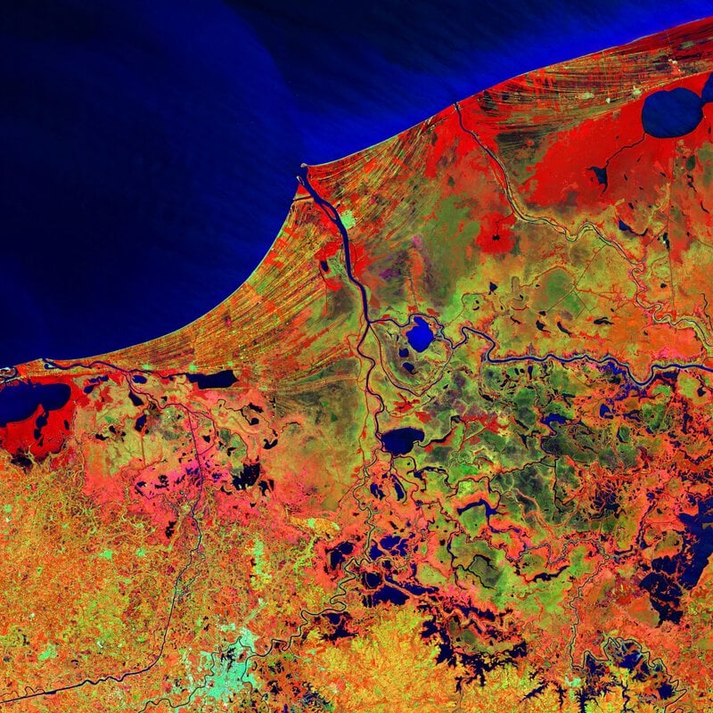
Remote sensing in agriculture works by capturing reflected light and thermal energy from crop canopies. Satellites detect wavelengths invisible to the human eye — particularly near-infrared light, which healthy vegetation strongly reflects while stressed or damaged plants respond differently — allowing researchers to infer plant health from hundreds of miles above the surface. These platforms can assess crop vigor, soil moisture, and field-level stress across millions of acres simultaneously, a feat that would take ground crews weeks to replicate manually.
The most widely used product of this analysis is the Normalized Difference Vegetation Index, or NDVI, which gives producers a single quantifiable number tied to specific GPS coordinates within their fields. A declining NDVI reading in a particular field zone can flag drought stress or pest pressure days before visible symptoms appear, giving farmers a narrow but meaningful window to intervene.
Why the Farm Innovation Ambassador Team Was Created
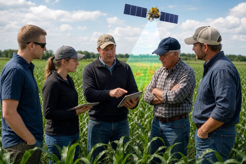
NASA Acres established its Farm Innovation Ambassador Team, known as FIAT, to unite farmer members directly with NASA Acres researchers during the tool-development phase — not after the fact. The logic is straightforward: satellite crop monitoring products shaped by the practical constraints and priorities of working producers are far more likely to see real-world adoption than tools designed in isolation and handed downstream.
NASA Acres describes FIAT as a national program that works hand-in-hand with producers, positioning farmers as co-designers rather than passive end-users of NASA farm data. That framing represents a meaningful shift in how a federal science agency approaches agricultural technology transfer.
The Nebraska Producer Who Joined FIAT
Nebraska’s newest FIAT member is Roric Paulman of Paulman Farms, a working producer whose addition was announced by NASA Acres on LinkedIn. Paulman’s participation brings a Great Plains, large-scale commodity-farming perspective to a national team building satellite-driven tools meant to serve diverse agricultural regions across the country.
The announcement confirmed that Paulman’s on-the-ground experience managing crops at scale in the High Plains would directly inform how FIAT tools are developed and refined going forward.
The Institutional Partners Amplifying the Announcement
Nebraska’s entry into FIAT was not a quiet administrative addition. The University of Nebraska’s UNL Agronomy and Horticulture department promoted the news through its official X account, signaling meaningful institutional investment in the partnership rather than passive acknowledgment. NASA Acres made its own announcement on LinkedIn — a platform choice that reveals something about the program’s intended audience: the professional networks connecting agricultural researchers, agronomists, conservation specialists, and farm operators, not just academic journals or government press offices.
Readers seeking ongoing regional coverage of how NASA satellite farming tools are being applied across the Great Plains can monitor Nebraska Today’s agriculture and environment section, the University of Nebraska-Lincoln’s official news outlet.
SARA Conservation’s Role in the Partnership
The network surrounding NASA Acres extends beyond individual farm ambassadors. SARA Conservation holds a formal partnership with NASA Acres focused on agricultural technology and space-based insights. Conservation organizations like SARA bring land stewardship priorities — cover crops, soil health, and water quality — into the satellite crop monitoring conversation alongside yield-focused metrics, broadening the range of outcomes the program tracks.
This partnership reflects a broader NASA Acres strategy: engaging not just individual farmers but also the conservation networks that influence how land-management practices spread across agricultural regions. When a conservation organization adopts and promotes a remote sensing tool, its reach into the producer community can be substantially wider than any single ambassador’s field operation.
What the FIAT Collaboration Means in Practice for Farmers
NASA Acres describes the FIAT collaboration as aimed at harnessing cutting-edge agricultural technology and space-based insights to enhance farming practices — language that points to measurable field-level outcomes, not just expanded data access. In practical terms, FIAT ambassadors like Paulman test NASA farm data tools on real fields and report back on usability, accuracy, and decision relevance before those tools are scaled nationally.
The feedback loop between ambassador farms and NASA Acres researchers is intended to accelerate the timeline from satellite data collection to a farmer-ready decision-support product. An ambassador who identifies, for example, that a soil-moisture algorithm consistently underperforms on sandy High Plains soils provides calibration insight that no amount of remote analysis could replicate independently. That kind of ground-truth correction is precisely what distinguishes a field-tested tool from a laboratory prototype.
Nebraska’s Strategic Value to a National Satellite Farming Program
Nebraska sits within both the Corn Belt and the High Plains, two of the most intensively farmed landscapes in North America, making it a high-signal environment for validating satellite crop monitoring algorithms. The state’s mix of irrigated and dryland production systems gives NASA Acres researchers a natural test bed for comparing how water stress appears in remote sensing data under fundamentally different management conditions — a comparison that strengthens the reliability of any tool intended for national deployment.
Adding a Nebraska ambassador also diversifies FIAT’s geographic footprint, which matters for both scientific rigor and policy credibility. A program that can demonstrate its satellite crop monitoring tools perform reliably across varied climates, soils, and farming systems is better positioned to advocate for sustained federal investment and broad producer adoption.
How to Follow or Engage With NASA Acres FIAT Updates
NASA Acres announced Nebraska’s FIAT membership on LinkedIn, making that platform the most direct channel for tracking new ambassador additions, research releases, and program milestones. Producers or researchers who want to monitor how FIAT findings translate into deployable remote sensing tools can follow NASA Acres there without navigating academic publication databases.
The UNL Agronomy and Horticulture X account and Nebraska Today’s agriculture coverage serve as reliable secondary sources for region-specific updates on Great Plains applications. Together, these public channels give anyone — farmer, agronomist, or curious observer — a practical way to follow a real-time experiment in space-to-field agricultural science as it develops.
Nebraska’s entry into the NASA Acres Farm Innovation Ambassador Team is a concrete step in the broader effort to make satellite Earth observation a routine part of farm-level decision-making. More than a symbolic milestone, it represents a replicable model: when federal science programs build tools with farmers rather than for them, the gap between orbit and the field becomes measurably narrower.